 Gibraltar · 16th century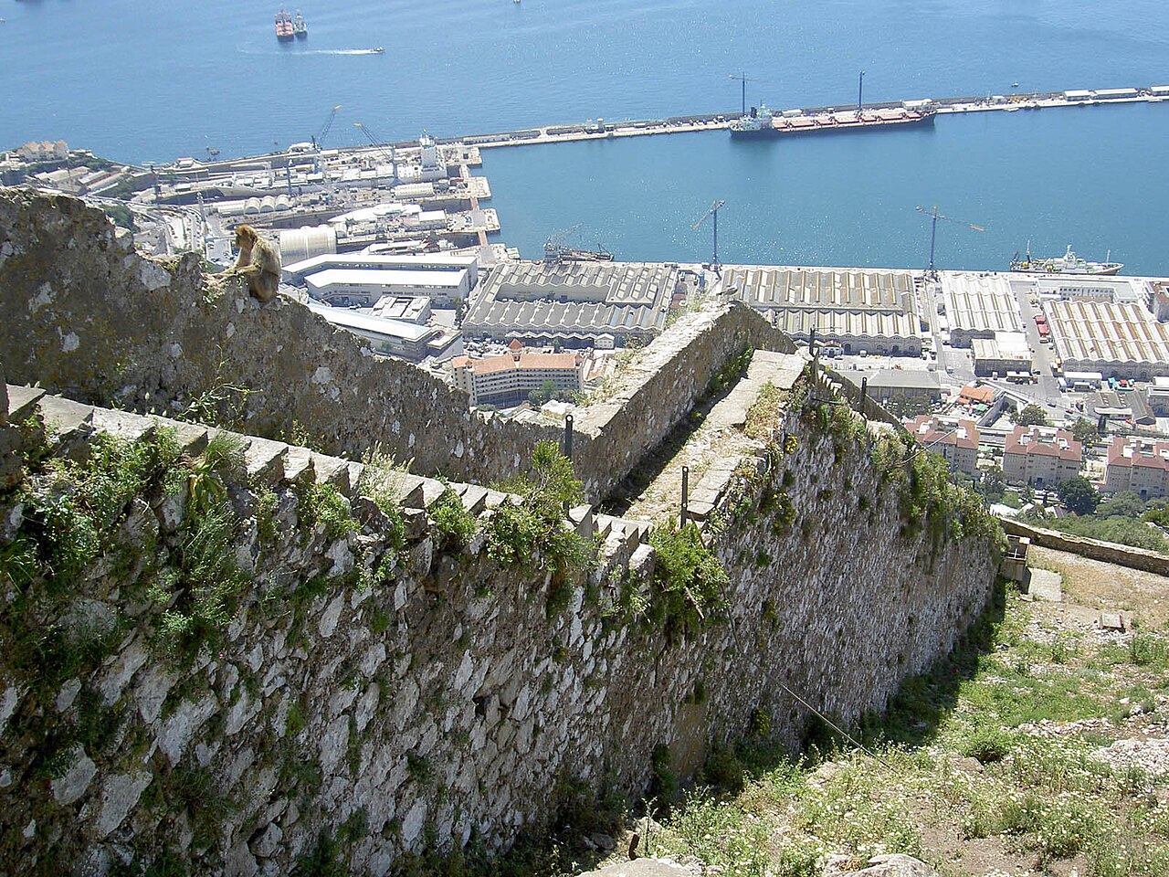
The Charles V Wall is a 16th-century defensive curtain wall that forms part of the fortifications of the British Overseas Territory of Gibraltar. Originally called Muralla de San Benito (English: St. Benedict's Wall), it was built in 1540 and strengthened in 1552 by Holy Roman Emperor Charles V. The wall remains largely intact and extends from South Bastion, which was once at the water's edge in the harbour, to the top ridge of the Rock of Gibraltar.
Text adapted from “Charles V Wall” on Wikipedia, CC BY-SA 4.0.
Charles V Wall ranks #4,740 of 9,079 worldwide in the atlas's castle fame ranking, and #2 of the 2 mapped in Gibraltar. Founded 1540, it is older than 40% of the atlas's dated landmarks — one of 891 atlas entries founded in the 16th century. 5 more atlas landmarks stand within 25 km. The nearest day-trip guide is Algeciras, 9 km away. See how Gibraltar compares in the castle statistics.
View on the interactive castle map →