Ruin
Château de Rougemont
 France · 12th century
- Founded
- c. 1200
- Heritage status
- monument historique inscrit
- Location
- Rougemont-le-Château
- Coordinates
- 47.74794°, 6.96684°
- Open data
- Wikidata Q2142824
- Links
- Wikimedia Commons
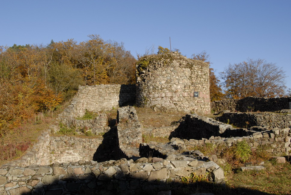
Description
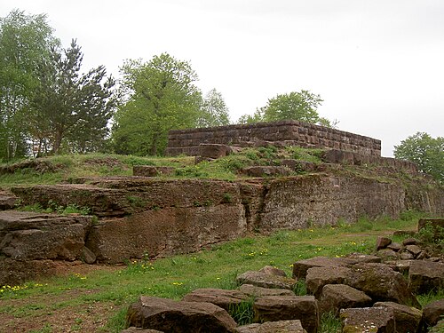
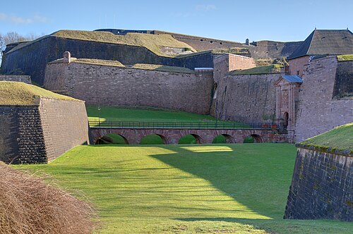
The Château de Rougemont is a ruined 12th-century castle in the commune of Rougemont-le-Château in the Territoire de Belfort département of France.
The castle, a small fortress, was built on a small hill in the Vosges Mountains facing the Jura plateaux. At an altitude of 736 m, it dominated the entry to Burgundy.
The castle belonged to the Counts of Ferrette and was built around the end of the 12th century. It protected an ancient Roman road from Langres that crosses the Vosges and passes by Rougemont. The castle watched over the southern entry to Alsace and symbolised the strength of the rulers of the region. With the extinction of the Ferrette line in 1324, the property passed to the Habsburgs.
Enguerrand VII, Lord of Coucy (and Earl of Bedford) destroyed the castle at the end of the 14th century.
Excavations began in 1977 preceding a complete restoration of the castle. The museum at Belfort preserves important military, civil and religious finds that the digs revealed. The castle is open to the public, free of charge, but access is not easy.
Since 1996 the French Ministry of Culture has listed the castle as a monument historique.
Text adapted from “Château de Rougemont” on Wikipedia, CC BY-SA 4.0.
In the rankings
Château de Rougemont ranks #7,628 of 9,902 worldwide in the atlas's castle fame ranking, and #740 of the 954 mapped in France. Founded c. 1200, it is older than 75% of the atlas's dated landmarks, one of 810 atlas entries founded in the 12th century. 7 more atlas landmarks stand within 25 km. The nearest day-trip guide is Mulhouse, 28 km away. See how France compares in the castle statistics.
Castles nearby
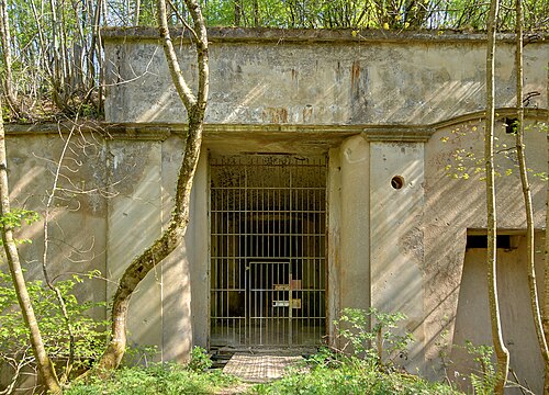
- Fort de Roppe9 km · France
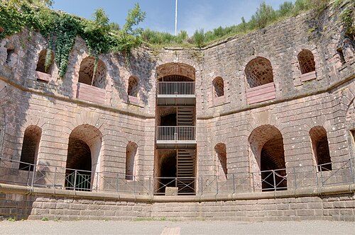
- Fort de Giromagny12 km · France
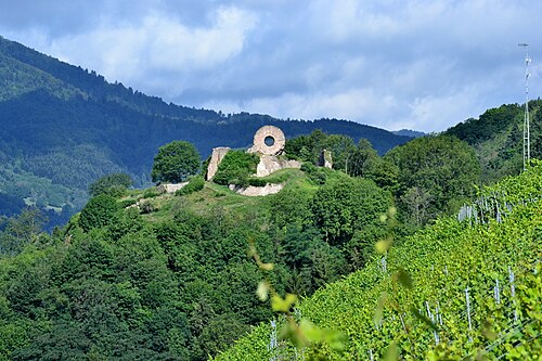
- Château de l'Engelbourg12 km · France
- Citadel of Belfort14 km · France
More castles in France
- Château d'UriageFrance · 10th century
- Château de HagueneckFrance · 13th century
- Château de ReichensteinFrance · 13th century
- Château du WarthenbergFrance · 12th century