 Puerto Rico · 17. Jahrhundert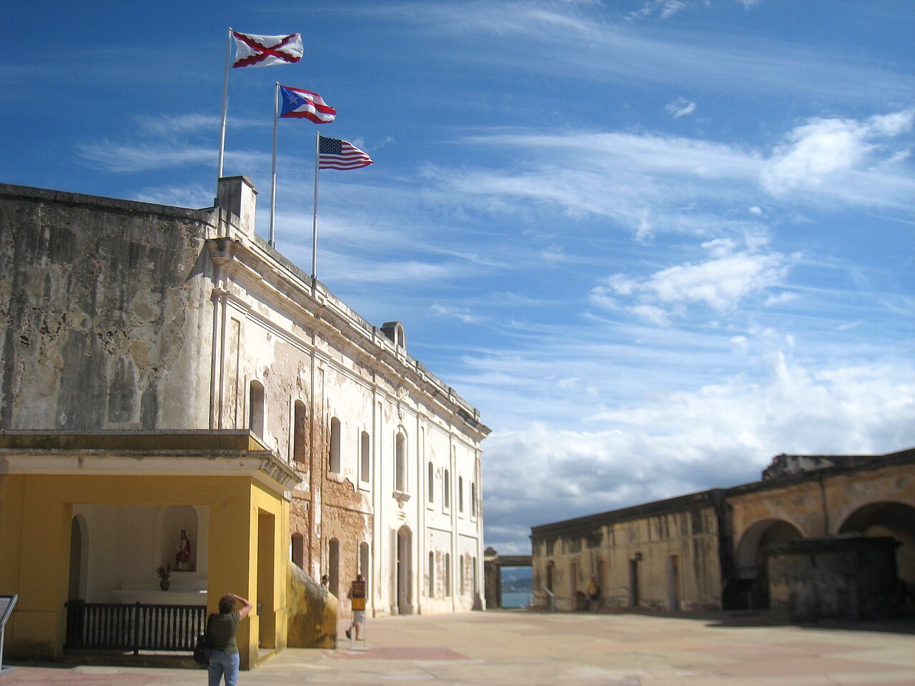
Das Castillo San Cristóbal (deutsch: Burg des heiligen Christophorus) ist eine Festung im historischen Altstadtviertel Old San Juan von San Juan, der Hauptstadt Puerto Ricos, bekannt als die größte von den Spaniern in der Neuen Welt errichtete Befestigungsanlage. Ihre Ursprünge gehen auf Verteidigungserweiterungen nach Angriffen der Engländer 1598 und der Niederländer 1625 zurück; erstmals errichtet wurde sie 1634 als Caballero de San Miguel (Kavalier des heiligen Michael) und Garita del Diablo („Teufelswachhäuschen“). In den folgenden 150 Jahren, insbesondere unter der Herrschaft König Karls III. von Spanien, wurde sie weiter zu einer Bastionsfestung mit vorgelagerten Ravelins und Batterien ausgebaut, bis sie 1783 ihre größte Ausdehnung erreichte.
Der dreistöckige Bau erhebt sich 150 Fuß über die atlantische Küstenlinie und steht auf einem Hügel an der Nordküste der Insel San Juan und bewacht den Landzugang zur Altstadt von San Juan. Zusammen mit El Morro, La Fortaleza und weiteren Teilen der Stadtmauern von Old San Juan schützte sie das strategisch und militärisch bedeutende Puerto Rico, oder La Llave de las Indias (Der Schlüssel zu den Indien), im Zeitalter der Segelschifffahrt vor der Invasion konkurrierender Weltmächte. 1983 wurde sie von der UNESCO zum Weltkulturerbe erklärt.
Maschinell übersetzt aus „Castillo San Cristóbal (San Juan)“ in der englischsprachigen Wikipedia, CC BY-SA 4.0.
Castillo San Cristóbal steht weltweit auf Platz 1.893 von 9.079 im Burgen-Bekanntheitsranking des Atlas und Nr. 3 der 4 in Puerto Rico verzeichneten. Die Gründung fällt auf 1634: früher als bei 28% der datierten Objekte des Atlas, eines von 721 Atlas-Objekten, die im 17. Jahrhundert gegründet wurden. Die Wikipedia-Artikel dazu wurden in den letzten 60 Tagen 3.580-mal geöffnet, mehr als 81% des Atlas. Im Umkreis von 25 km stehen 3 weitere Objekte des Atlas. Sehen Sie in der Burgen-Statistik, wie Puerto Rico abschneidet.
Auf der interaktiven Burgenkarte ansehen →