 Indien · 12. Jahrhundert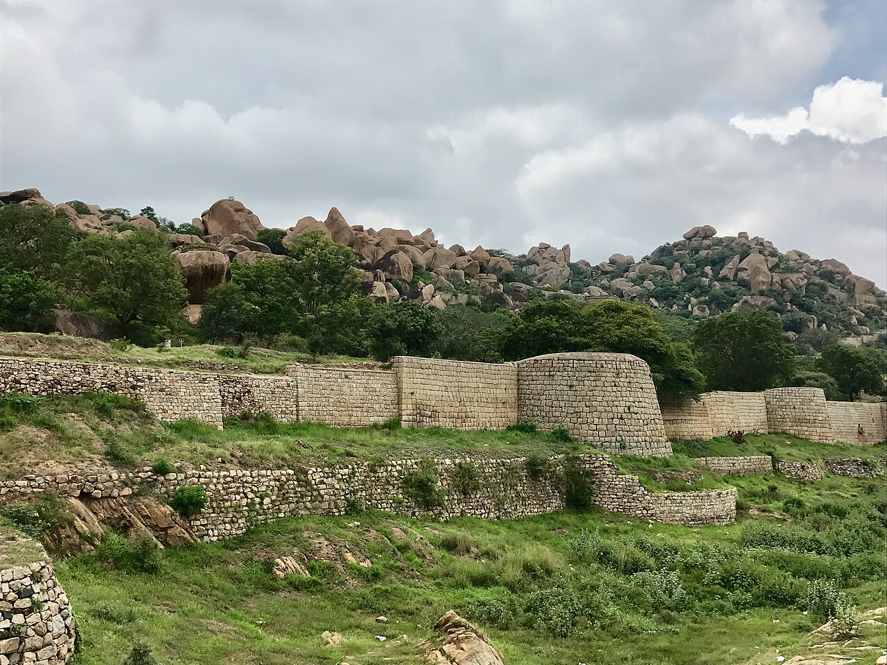
Chitradurga Fort, von den Briten Chitaldoorg genannt, ist eine Festungsanlage, die sich über mehrere Hügel und einen Gipfel mit Blick auf ein flaches Tal im Distrikt Chitradurga, Karnataka, Indien, erstreckt. Der Name der Festung, Chitrakaldurga, bedeutet auf Kannada „malerische Festung“ und ist Namensgeber der Stadt Chitradurga und ihres Verwaltungsdistrikts.
Die Festung wurde zwischen dem 11. und 13. Jahrhundert in Etappen von den dynastischen Herrschern der Region erbaut, darunter die Chalukya und Hoysala, später die Nayakas von Chitradurga des Vijayanagar-Reiches. Die Nayakas von Chitradurga, auch Palegar-Nayakas genannt, trugen zwischen dem 15. und 18. Jahrhundert am meisten zum Ausbau der Festung bei. Die Festung wurde 1779 kurzzeitig von Hyder Ali in Chitradurga übernommen. Zwanzig Jahre später wurde die Festung von den britischen Truppen erobert, als sie seinen Sohn Tipu Sultan besiegten. Die Festung besteht aus einer Reihe von sieben konzentrischen Festungsmauern mit verschiedenen Durchgängen, einer Zitadelle, einer Moschee, Lagerhäusern für Getreide und Öl, Wasserreservoirs und antiken Tempeln.
In der oberen Festung gibt es 18 Tempel, in der unteren Festung einen großen Tempel. Unter diesen Tempeln ist der Hidimbeshwara-Tempel der älteste und interessanteste. Die Moschee kam während der Herrschaft Hyder Alis hinzu. Die zahlreichen miteinander verbundenen Wasserbecken der Festung dienten der Regenwassernutzung, und es hieß, die Festung habe niemals unter Wassermangel gelitten.
Maschinell übersetzt aus „Chitradurga Fort“ in der englischsprachigen Wikipedia, CC BY-SA 4.0.
Chitradurga Fort steht weltweit auf Platz 2.137 von 9.035 im Burgen-Bekanntheitsranking des Atlas und Nr. 83 der 223 in Indien verzeichneten. Die Gründung fällt auf um 1150: früher als bei 80% der datierten Objekte des Atlas, eines von 763 Atlas-Objekten, die im 12. Jahrhundert gegründet wurden. Die Wikipedia-Artikel dazu wurden in den letzten 60 Tagen 3.362-mal geöffnet, mehr als 80% des Atlas. Sehen Sie in der Burgen-Statistik, wie Indien abschneidet.
Auf der interaktiven Burgenkarte ansehen →