🇵🇸 Territorios Palestinos
Castillos cerca de Nablus
38 castillos, fortalezas, palacios y ruinas a menos de 100 km del centro — todos en el mapa interactivo, con fotos, distancias y rumbos.
El más cercano: Alexandreion , 23 km al sureste del centro; el más famoso: Torre de David — n.º 207 de 8134 en el mundo — 50 km al sur. El monumento datado más antiguo del círculo: Ciudadela de Amán , fundado en 1800 a. C.
El círculo de 100 km alcanza 3 países — Israel (23), Territorios Palestinos (9), Jordania (6).
A menos de 100 km 38 monumentos
Por tipo 1 castillo · 13 fortalezas · 2 palacios · 22 ruinas
Países Israel 23 · Territorios Palestinos 9 · Jordania 6
Ciudad 177.638 habitantes
A menos de 25 km de Nablus
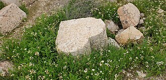
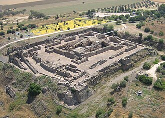
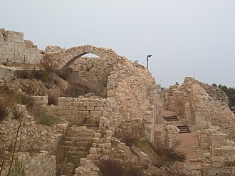
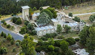
Alexandreion 23 km al sureste · Ruina
Alexandreion, o Alexandrium, llamado Sartaba en la Mishná y el Talmud y Qarn Sartaba en árabe, fue una antigua fortaleza situada en la cima de una…
Excursiones de un día: 25–60 km
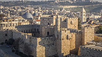
Torre de David 50 km al sur · Fortaleza · n.º 207 del mundo
La Torre de David es una antigua ciudadela en el Barrio Armenio de la Ciudad Vieja de Jerusalén. Se encuentra junto a la puerta de Jaffa.
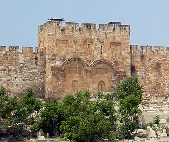
Puerta Dorada 49 km al sur · Fortaleza · n.º 280 del mundo
La Puerta Dorada es la entrada más antigua de las actuales murallas que rodean la Ciudad Vieja de Jerusalén, fue construida en el siglo VII o siglo…
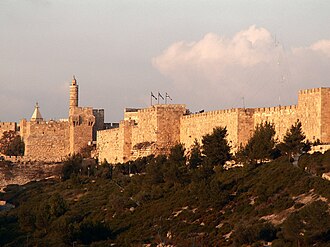
Murallas de Jerusalén 50 km al sur · Fortaleza · n.º 309 del mundo
Las murallas de Jerusalén rodean la ciudad vieja de Jerusalén. Las murallas fueron construidas entre 1535 y 1538 por orden del sultán Suleiman I,…
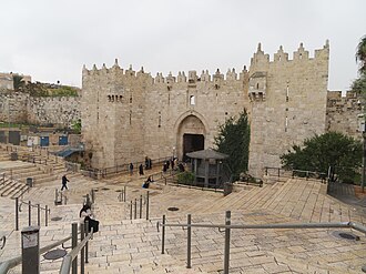
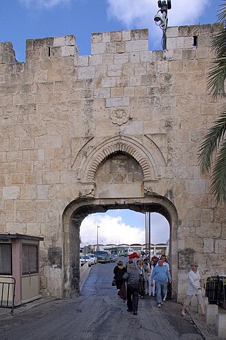
Puerta de Damasco 49 km al sur · Fortaleza
La Puerta de Damasco es una puerta en las murallas de la Ciudad Vieja de Jerusalén.
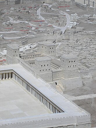
Fortaleza Antonia 49 km al sur · Ruina
La Fortaleza Antonia o Torre de Antonio fue un acuartelamiento militar construido por Herodes el Grande en Jerusalén en la época del antiguo Imperio…
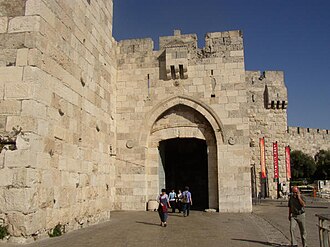
Puerta de Jaffa 50 km al sur · Fortaleza
La Puerta de Jaffa, Puerta del Amigo o Puerta de la Torre de David es una antigua entrada de la fortificación de la Ciudad Vieja de Jerusalén.
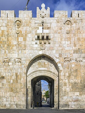
Puerta de los Leones (Jerusalén) 49 km al sur · Fortaleza
La Puerta de los Leones es la única puerta abierta en la fachada este de la murallas de la Ciudad Vieja de Jerusalén, frente al Monte de los Olivos.
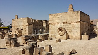
Palacio de Hisham 42 km al sureste · Ruina
El Palacio de Hisham, y localmente conocido como Qasr Hisham, es el nombre actual de las ruinas de un palacio omeya.
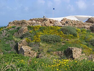
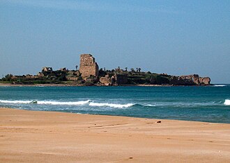
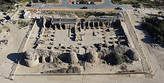
Arsuf 43 km al oeste · Ruina
Arsuf fue una antigua ciudad y fortaleza situada en Israel, a unos 15 kilómetros al norte de la actual Tel Aviv, en lo alto de un acantilado al Mar…
Fortaleza de Belvoir 48 km al noreste · Ruina
Este artículo es sobre la fortaleza de los cruzados en Israel. Para el castillo inglés, vea Castillo de Belvoir.
Puerta del Estiércol 50 km al sur · Fortaleza
La Puerta del Estiércol, puerta de los Marroquíes o puerta Mugrabí, es una entrada de las murallas que rodean la Ciudad Vieja de Jerusalén.
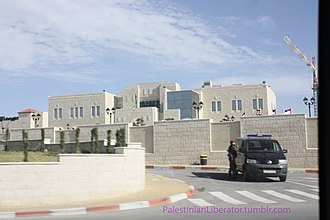
Muqataa 35 km al sur · Palacio
La Muqataa, también llamada en castellano Mukata, es el nombre de un complejo de edificios, antigua prisión del Imperio británico, con el que es…
+ 11 más en esta franja — todos en el mapa interactivo .
Algo más lejos: 60–100 km
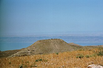
Maqueronte 81 km al sureste · Ruina
Maqueronte es el nombre de una antigua fortaleza ubicada en la cumbre de una colina en la antigua Perea, en la actual Jordania.
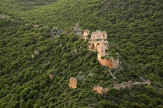
Montfort (Israel) 92 km al norte · Ruina
Montfort, conocida también como Franc-Chastiau, Starkenberg, Monfor, Qala`at al-Qarn o Qala`at al-Qurayn fue una fortaleza construida en tiempos…
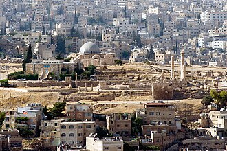
Ciudadela de Amán 70 km al sureste · Ruina
La Ciudadela de Amán es un lugar histórico nacional situado en el centro de Amán, Jordania.
Castillo de Pèlerin 62 km al noroeste · Fortaleza
El Castillo de Pèlerin se encuentra en la costa norte de Israel cerca de 13 kilómetros al sur de Haifa.
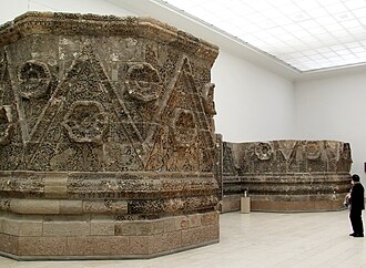
Qusair Mushatta 89 km al sureste · Ruina
El Qusair Mushatta o Mshatta, es un palacio de invierno omeya, hoy en ruinas, probablemente construido por el califa Walid II entre 743 y 744.
Palacio de Raghadan 71 km al sureste · Palacio
El Palacio de Raghadan es un palacio real situado en el complejo de la Corte Real de Al-Maquar en Amán, Jordania.
Ateret Fortress 94 km al norte · Ruina
Chastelet, también conocido como Beytulahzan, fue un castillo situado junto al Vado de Jacob, un vado del alto río Jordán en Israel.
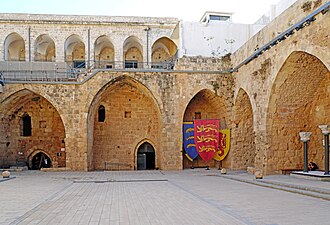
Ciudadela de Acre 80 km al norte · Fortaleza
La encomienda hospitalaria de Saint-Jean-d'Acre es un complejo monumental fundado por la Orden de San Juan de Jerusalén, también conocida como los…
Safed Fortress 86 km al norte · Ruina
La ciudadela de Safed es una fortaleza actualmente en desuso situada en la cima de la montaña que alberga la moderna ciudad de Safed.
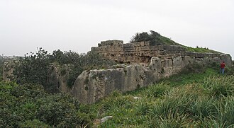
Minat al-Qal'a 78 km al suroeste · Ruina
Minat al-Qal'a es un fuerte costero medieval que protegía el puerto conocido como Ashdod-Yam, que históricamente era independiente de la propia…
Le Destroit 62 km al noroeste · Ruina
Le Destroit es una estación fortificada medieval en ruinas, construida por los templarios del Reino cruzado de Jerusalén a principios del siglo XII…
Birya Fortress 89 km al norte · Fortaleza
La fortaleza de Birya es una fortaleza construida por la milicia paramilitar judía Palmaj durante el Mandato Británico, cerca de la aldea judía de…
+ 2 más en esta franja — todos en el mapa interactivo .
Las distancias son en línea recta desde el centro de la ciudad. Coordenadas y población: Wikidata Q214178 .
Preguntas frecuentes
¿Cuántos castillos hay cerca de Nablus? El atlas Castlemap cartografía 38 monumentos (1 castillo · 13 fortalezas · 2 palacios · 22 ruinas) a menos de 100 km en línea recta del centro de Nablus — una selección de monumentos bien documentados, no un recuento de cada fortificación que existió.
¿Qué castillo queda más cerca de Nablus? Alexandreion — ruina 23 km al sureste del centro de la ciudad.
¿Cuál es el castillo más famoso cerca de Nablus? Torre de David — n.º 207 de 8134 en la clasificación por fama del atlas, 50 km al sur de Nablus.
¿Cuál es el castillo más antiguo cerca de Nablus? El monumento datado más antiguo del círculo: Ciudadela de Amán, fundado en 1800 a. C. — 70 km al sureste. Pudieron existir construcciones anteriores; este es el más antiguo con año documentado.
Guías de ciudades cercanas: Tulkarem (24 km) · Umm al-Fahm (34 km) · Hadera (41 km) · Afula (43 km). Ver también castillos medievales · todas las clasificaciones · castillos por país .