 Turkey · 13th century
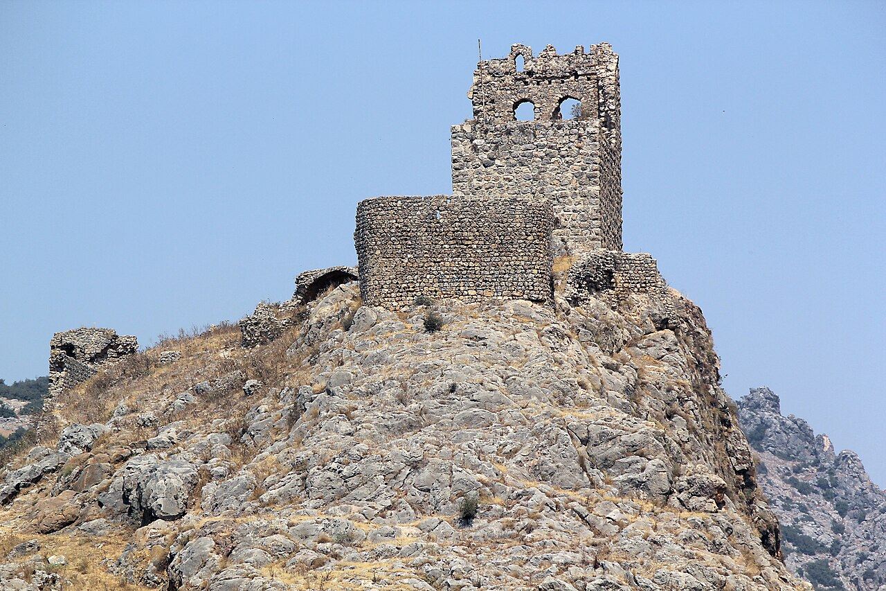
Amouda ranks #5,467 of 9,040 worldwide in the atlas's castle fame ranking, and #72 of the 128 mapped in Turkey. Founded 1212, it is older than 74% of the atlas's dated landmarks, one of 1091 atlas entries founded in the 13th century. 1 more atlas landmarks stand within 25 km. The nearest day-trip guide is Adana, 72 km away. See how Turkey compares in the castle statistics.
The former Crusader castle of Amouda, in what was the Armenian Kingdom of Cilicia, and today close to the village of Gökçedam in the Turkish Province of Osmaniye. The castle was deeded by the Armenian king Levon I to the Teutonic Knights in 1212 (Barber 2008) and rebuilt by them in the 13th century. It earned revenue for the Teutonic Order from the surrounding land. According to contemporary sources, the castle provided shelter for 2,200 people during the invasion by the Mamluks in 1266.
Text adapted from “Amouda” on Wikipedia, CC BY-SA 4.0.
View on the interactive castle map →