 Iran
Iran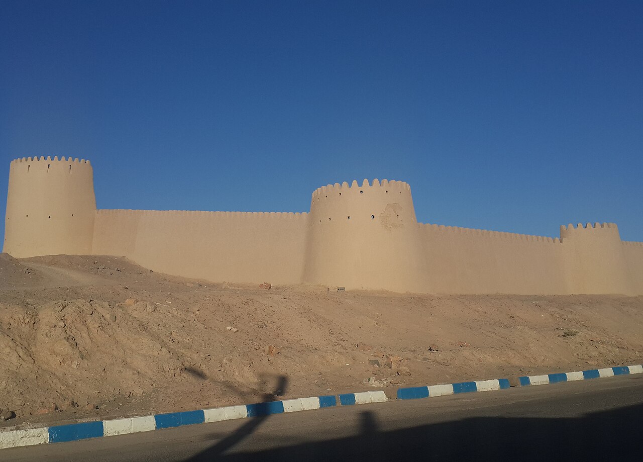
Anar Castle (Persian: ارگ انار) is a Sasanian castle in Anar, Kerman province, Iran. It is 11,179 square meters large and has 8 towers.
The castle was built during the Sasanian era and was later repaired during the Safavid era and used again.
The castle's interior used to contain buildings that sometimes had 3 floors, but these were all demolished in 1981–82 since they were used as shelter by drug addicts.
It was listed among the national heritage sites of Iran with the number 30343 on 6 February 2011.
Text adapted from “Anar Castle” on Wikipedia, CC BY-SA 4.0.
Anar Citadel ranks #7,769 of 9,079 worldwide in the atlas's castle fame ranking, and #80 of the 173 mapped in Iran. 1 more atlas landmarks stand within 25 km. See how Iran compares in the castle statistics.
View on the interactive castle map →