 Northern Ireland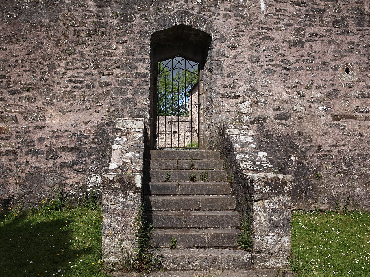
Benburb Castle is a castle situated in Benburb, County Tyrone, Northern Ireland. It is built on a limestone cliff overlooking the River Blackwater, the border between County Tyrone and County Armagh. A 19th-century tower house occupies the south west area of the bawn. The castle has been restored and stands in the grounds of the imposing Servite Priory, the local base of that religious order.
Benburb or Wingfield's Castle is a State Care Historic Monument, in Dungannon and South Tyrone Borough Council area, at grid ref: H8146 5199.
Text adapted from “Benburb Castle” on Wikipedia, CC BY-SA 4.0.
Benburb Castle ranks #8,419 of 9,079 worldwide in the atlas's castle fame ranking, and #37 of the 39 mapped in Northern Ireland. 6 more atlas landmarks stand within 25 km. The nearest day-trip guide is Belfast, 57 km away. See how Northern Ireland compares in the castle statistics.
View on the interactive castle map →