Fortress
Grey Point Fort
 Northern Ireland · 20th century
- Founded
- 1904
- Location
- Ards and North Down
- Coordinates
- 54.67518°, -5.74184°
- Open data
- Wikidata Q10283798
- Links
- Wikimedia Commons

Description
Grey Point Fort (map reference J45698325) is a battery located at Helen's Bay on the south side of Belfast Lough. It was part of the defences of Belfast.
Construction of the battery began in 1904, with the guns mounted by 1907. The construction of the battery and another battery on the opposite side of the Lough at Kilroot was noted by the Owen Report of 1905.
The battery was armed with two 6-inch Mark VII Breech loading guns. During the First World War additional buildings were constructed to provide accommodation for men of Kitchener's Army. Following the war, the battery remained in use with two coastal defence search lights being installed in 1936.
During the Second World War, it was operated by a Territorial Army unit, the 525th (Antrim) Coast Regiment, Royal Artillery. Concrete overhead covers were added to both gun positions. Following the war. the battery continued to be maintained with a mobile radar being installed in 1954.
On the abolition of coast artillery in 1956 the fort was disarmed. Between 1992 and 1996 original guns were obtained and installed from fortifications in Cork – one from Fort Mitchel on Spike Island, County Cork and the other from Fort Davis, County Cork. Since 2008 the Fort has been opened by the Grey Point Amateur Radio Society.
Text adapted from “Grey Point Fort” on Wikipedia, CC BY-SA 4.0.
In the rankings
Grey Point Fort ranks #9,591 of 9,902 worldwide in the atlas's castle fame ranking, and #40 of the 40 mapped in Northern Ireland. Founded 1904, one of 175 atlas entries founded in the 20th century. 5 more atlas landmarks stand within 25 km. The nearest day-trip guide is Belfast, 15 km away. See how Northern Ireland compares in the castle statistics.
Castles nearby
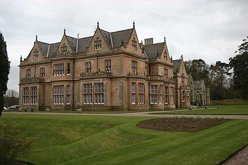
- Bangor Castle5 km · Northern Ireland
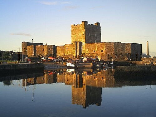
- Carrickfergus Castle6 km · Northern Ireland
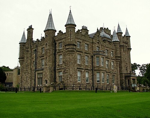
- Stormont Castle10 km · Northern Ireland
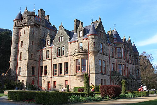
- Belfast Castle13 km · Northern Ireland
More castles in Northern Ireland
- Roxborough CastleNorthern Ireland · 18th century
- Hillsborough CastleNorthern Ireland · 18th century
- Dunluce CastleNorthern Ireland
- Castle WardNorthern Ireland · 18th century