 Austria · 13th century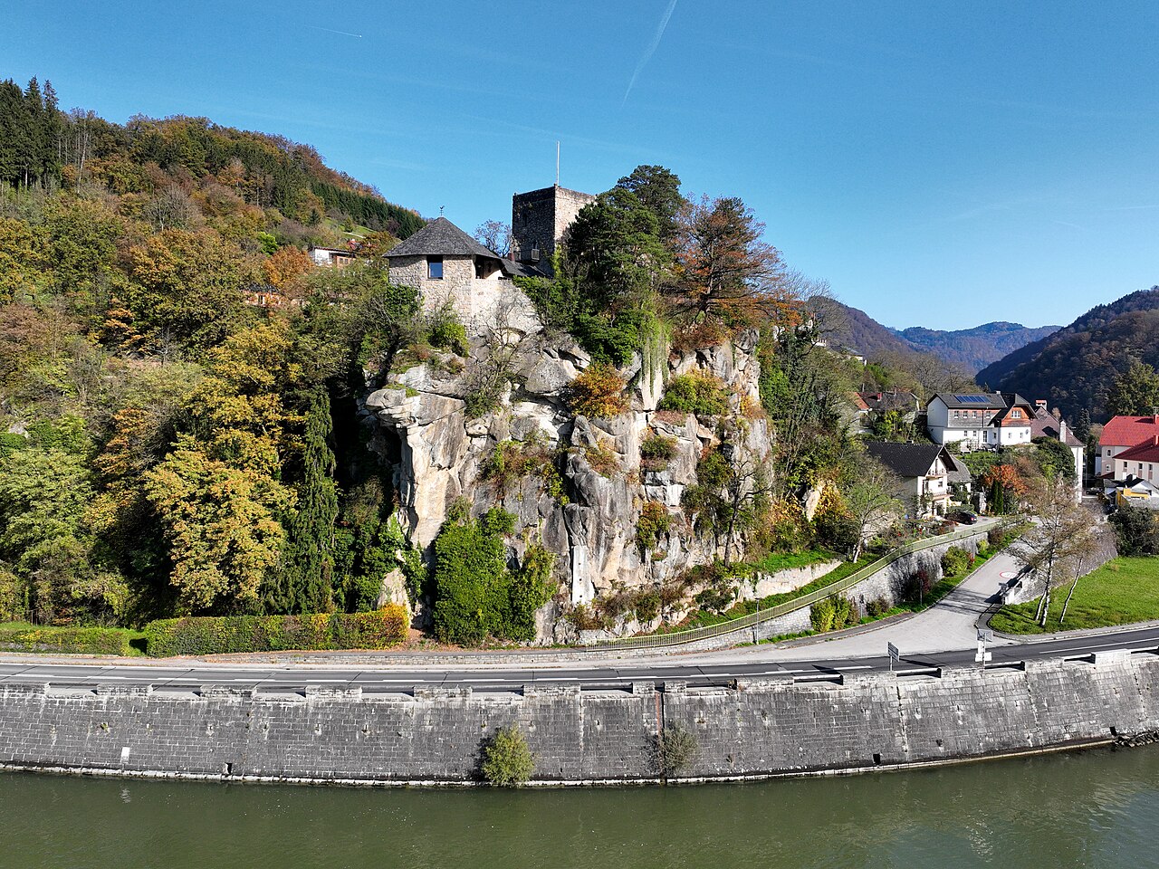
Werfenstein is a lowland castle in the Strudengau region of Upper Austria. It stands on the Danube in the village of Struden (or Strum), in the municipal area of St. Nikola an der Donau. The ruin was converted from 1963 into a private retirement residence.
Machine-translated from “Burg Werfenstein” on the German Wikipedia, CC BY-SA 4.0.
Burg Werfenstein ranks #7,081 of 9,079 worldwide in the atlas's castle fame ranking, and #196 of the 240 mapped in Austria. Founded 1242, it is older than 71% of the atlas's dated landmarks — one of 1080 atlas entries founded in the 13th century. 3 more atlas landmarks stand within 25 km. The nearest day-trip guide is Linz, 46 km away. See how Austria compares in the castle statistics.
View on the interactive castle map →