Ruin
Carrigafoyle Castle
🇮🇪 Ireland
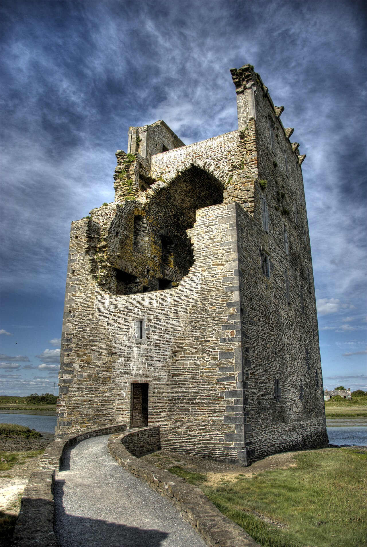
Carrigafoyle Castle, Carrigafoyle Castle in English or Caisleán Charraig an Phoill in Irish, is a castle situated on the edge of the Shannon estuary, at Ballylongford, in County Kerry in Ireland.
Machine-translated from “Château de Carrigafoyle” on the French Wikipedia, CC BY-SA 4.0.
Carrigafoyle Castle ranks #6,679 of 8,134 worldwide in the atlas's castle fame ranking, and #149 of the 173 mapped in Ireland. 2 more atlas landmarks stand within 25 km. The nearest day-trip guide is Limerick, 60 km away. See how Ireland compares in the castle statistics.
View on the interactive castle map →Frequently asked questions
Where is Carrigafoyle Castle?
Carrigafoyle Castle stands in Ireland, at 52.56991°, -9.49406°.
How famous is Carrigafoyle Castle?
In this atlas's fame ranking: #6,679 of 8,134 worldwide, and #149 in Ireland. Fame here combines how many Wikipedia language editions cover a landmark with how many people read them.
What is the nearest castle to Carrigafoyle Castle?
Listowel Castle, about 14 km away.
More castles in Ireland
- Dún Ailinne Ireland
- Rathgall Hillfort Ireland
- Puck's Castle Ireland · 16th century
- Roscrea Castle Ireland · 13th century
More ruins
- La Fontaine Castle Luxembourg · 16th century
- Fort Senneville Canada · 17th century
- Fort C. F. Smith United States · 19th century
- Section of the Old City Walls of Macau China · 16th century