 Spain · 12th century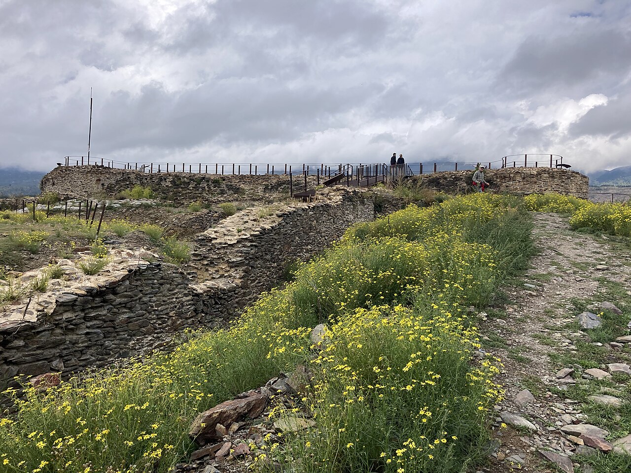
Castell de Llívia is located on the upper part of the Puig del Castell, at the foot of which the town of Llívia was built, in the district of Baixa Cerdanya (Spain). Although the castle was destroyed by the French king Louis XI at the end of the Catalan civil war against John II in 1479, some remains survive. The visible remains most probably date from the 12th century.
It has the generic protection of the decree of 22 April 1949 and of law 16/1985.
It is therefore an asset of cultural interest with the category of monument.
Machine-translated from “Castillo de Llivia” on the Spanish Wikipedia, CC BY-SA 4.0.
Castell de Llívia ranks #8,189 of 9,079 worldwide in the atlas's castle fame ranking, and #475 of the 607 mapped in Spain. Founded c. 1150, it is older than 80% of the atlas's dated landmarks — one of 756 atlas entries founded in the 12th century. The nearest day-trip guide is Perpignan, 79 km away. See how Spain compares in the castle statistics.
View on the interactive castle map →