Castle
Castello di Lunghezza
 Italy · 8th century
- Founded
- 761
- Heritage status
- Italian national heritage
- Location
- Roma Capitale
- Coordinates
- 41.92502°, 12.66651°
- Open data
- Wikidata Q3662668
- Links
- OpenStreetMap · Wikimedia Commons
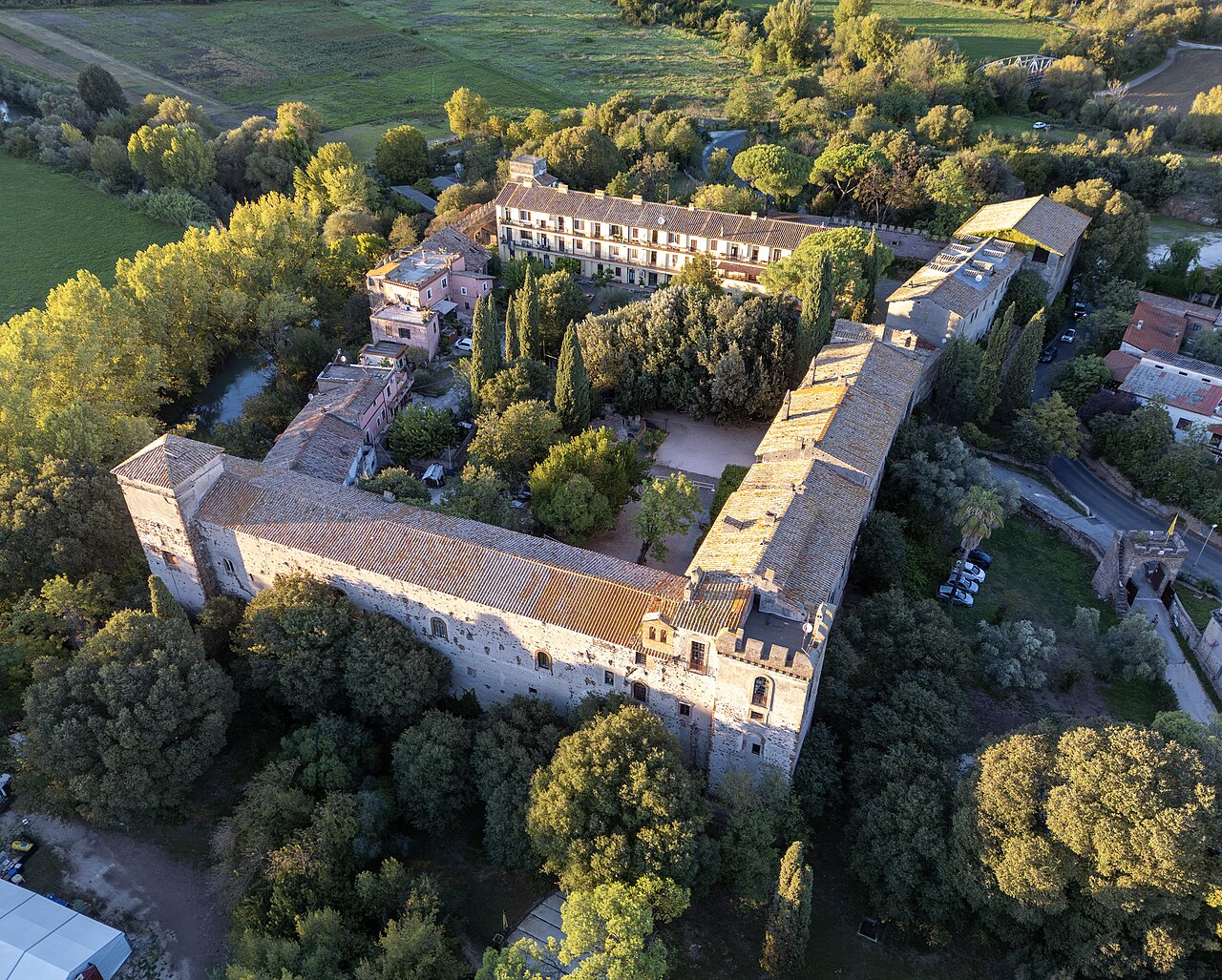
Description
The Castello di Lunghezza ("Lunghezza Castle") is a medieval fortification situated roughly 20 kilometers (12 mi) east of Rome, Italy. It lies in Municipio VIII of Rome, and sits on the site of the ancient town of Collatia.
It was constructed in the year 761 AD and was ruled over by the Poli Family for several generations. In the 13th century, the Polis fell out of favor with Pope Boniface VIII when they gave all the lands around the castle to a local monastery. After some dispute, the papacy gained control of the land and it was bestowed upon the Orsinis, a family of Roman nobles. Throughout the early 20th century, it changed hands in various English families a number of times.
In the 1950s, the castle was purchased by British curator Malcolm Munthe, who sought to restore it and open it to the public.
Text adapted from “Castello di Lunghezza” on Wikipedia, CC BY-SA 4.0.
In the rankings
Castello di Lunghezza ranks #6,539 of 9,902 worldwide in the atlas's castle fame ranking, and #460 of the 624 mapped in Italy. Founded 761, it is older than 95% of the atlas's dated landmarks, one of 51 atlas entries founded in the 8th century. 66 more atlas landmarks stand within 25 km. The nearest day-trip guide is Rome, 16 km away. See how Italy compares in the castle statistics.
Castles nearby
- Ponte Nomentano11 km · Italy
- Rocca Pia12 km · Italy
- Villa Wolkonsky14 km · Italy
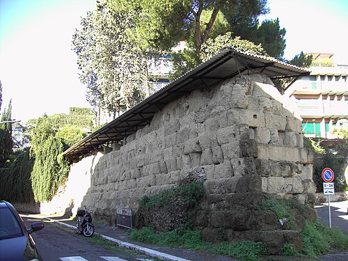
- Servian Wall14 km · Italy
More castles in Italy
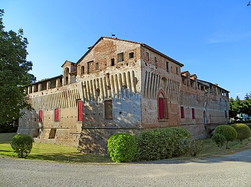
- Castello di RoccabiancaItaly · 15th century
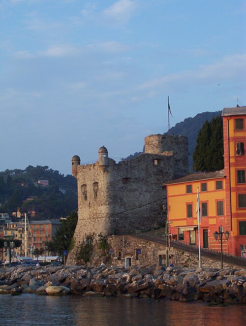
- Castello di Santa Margherita LigureItaly · 16th century
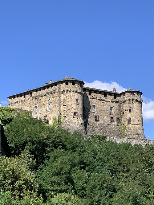
- Castle of CompianoItaly · 16th century
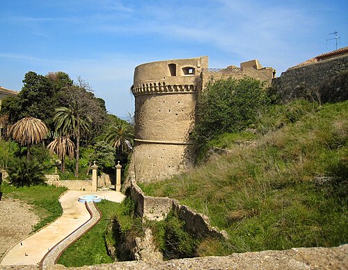
- Castle of Charles V, CrotoneItaly · 9th century