Ruin
Castelo de Geraldo
 Portugal
- Heritage status
- heritage without legal protection
- Coordinates
- 38.53807°, -8.03311°
- Open data
- Wikidata Q18482086
- Links
- OpenStreetMap · Wikimedia Commons
Description
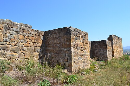
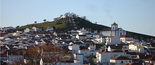
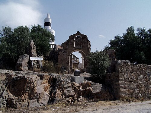
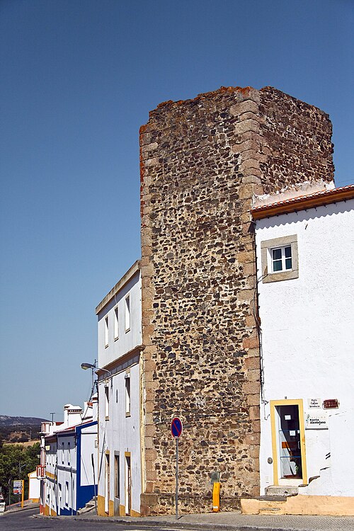
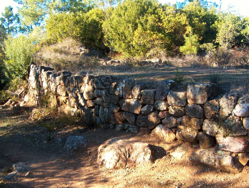
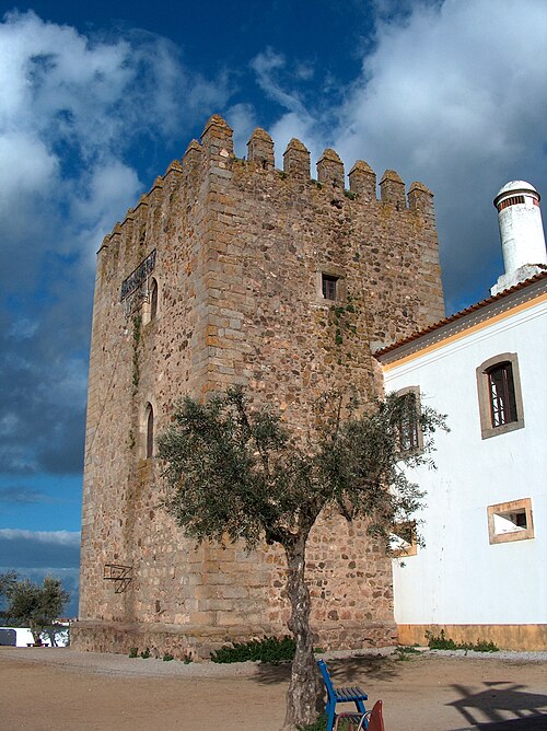
The Castle of Geraldo (Portuguese: Castelo de Geraldo/Castelo de Giraldo) is a ruined medieval castle located in the civil parish of Nossa Senhora da Tourega e Nossa Senhora de Guadalupe, in the municipality of Évora, in the Portuguese district of Évora.
The site in Nossa Senhora da Tourega e Nossa Senhora de Guadalupe has been continuously occupied since 3000 B.C. and 1000 A.D. It was founded on a castro fortified proto-historic structure, with its origin in the Bronze Age, Chalcolithic, with vestiges from older settlements.
During the Middle Ages it was sporadically re-occupied and reconstructed.
Records from the 15th century indicate that the castle was associated with Giraldo Sem Pavor, a warrior who conquered Évora from the Muslims in 1165. Today the site is being analyzed for classification.
It is a semi-circular construction occupied a 114 metres (374 ft) perimeter. The walls constructed on its perimeter were erected during the medieval period. From its walls it is possible to see the city of Évora and town of Valverde (Nossa Senhora da Tourega).
Text adapted from “Castle of Geraldo” on Wikipedia, CC BY-SA 4.0.
In the rankings
Castelo de Geraldo ranks #8,976 of 9,902 worldwide in the atlas's castle fame ranking, and #186 of the 213 mapped in Portugal. 5 more atlas landmarks stand within 25 km. The nearest day-trip guide is Évora, 12 km away. It is one of the 48 landmarks on the atlas's regional map of the Alentejo. See how Portugal compares in the castle statistics.
Castles nearby
- Forte de Santo António11 km · Portugal
- Castelo de Montemor-o-Novo20 km · Portugal
- Castle of Arraiolos21 km · Portugal
- Castelo de Torre de Coelheiros22 km · Portugal
More castles in Portugal
- Castle of AlcobaçaPortugal · 12th century
- Castle of AljustrelPortugal
- Castle of Alter PedrosoPortugal
- Castle of ArronchesPortugal · 12th century