Castle
Castillo de Olvera
🇪🇸 Spain · 12th century
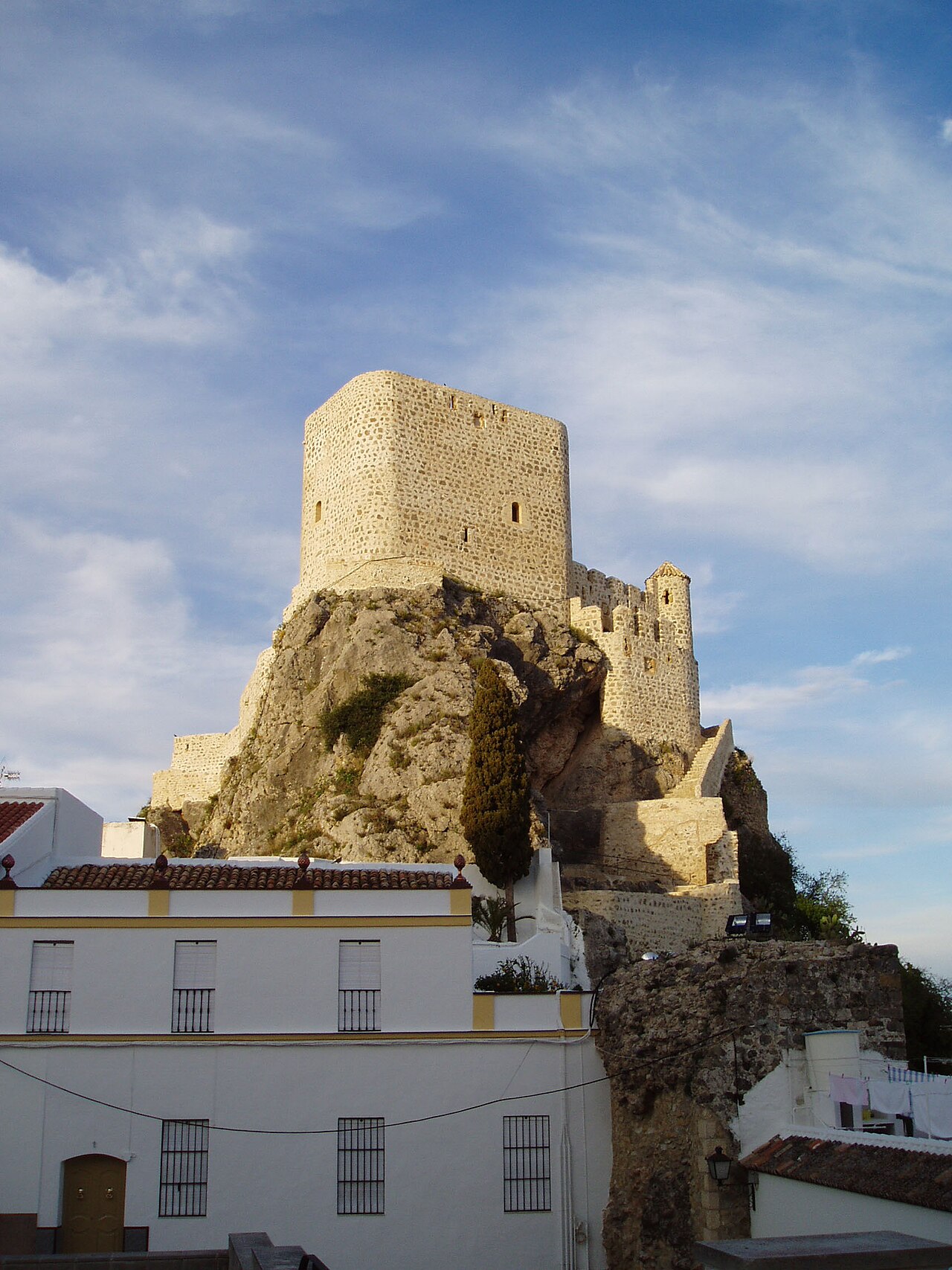
Castillo de Olvera is located in Olvera in the province of Cádiz, southern Spain. It was built in the late 12th century as part of the defensive system of the Emirate of Granada. Situated on a rock 623 metres (2,044 ft) above sea level, the highest point of the town, the castle has an irregularly-shaped elongated triangle that fits the form of the rock base. It was declared a Bien de Interés Cultural monument in 1982.
Text adapted from “Castillo de Olvera” on Wikipedia, CC BY-SA 4.0.
Castillo de Olvera ranks #5,653 of 8,134 worldwide in the atlas's castle fame ranking, and #265 of the 602 mapped in Spain. Founded c. 1175, it is older than 80% of the atlas's dated landmarks — one of 564 atlas entries founded in the 12th century. 1 more atlas landmarks stand within 25 km. The nearest day-trip guide is Málaga, 80 km away. It is one of the 125 landmarks on the atlas's regional map of Andalusia. See how Spain compares in the castle statistics.
View on the interactive castle map →Frequently asked questions
Where is Castillo de Olvera?
Castillo de Olvera stands in Spain, at 36.93577°, -5.26736°.
When was Castillo de Olvera built?
The atlas dates its founding to c. 1175. Earlier structures may have stood on the site; this is the earliest documented founding year.
How famous is Castillo de Olvera?
In this atlas's fame ranking: #5,653 of 8,134 worldwide, and #265 in Spain. Fame here combines how many Wikipedia language editions cover a landmark with how many people read them.
What is the nearest castle to Castillo de Olvera?
Puerta de Felipe V, about 24 km away.
More castles in Spain
- Castell-Palau dels Aguilar Spain · 16th century
- Castell de Cabrera (Alt Empordà) Spain · 11th century
- Castillo de Santiago Spain
- Castillo de Boltaña Spain
More castles
- Kangelo Castle Iran
- Tartus Castle Syria
- Mirabello Castle Italy · 14th century
- Paraggi Castle Italy