 Spain
Spain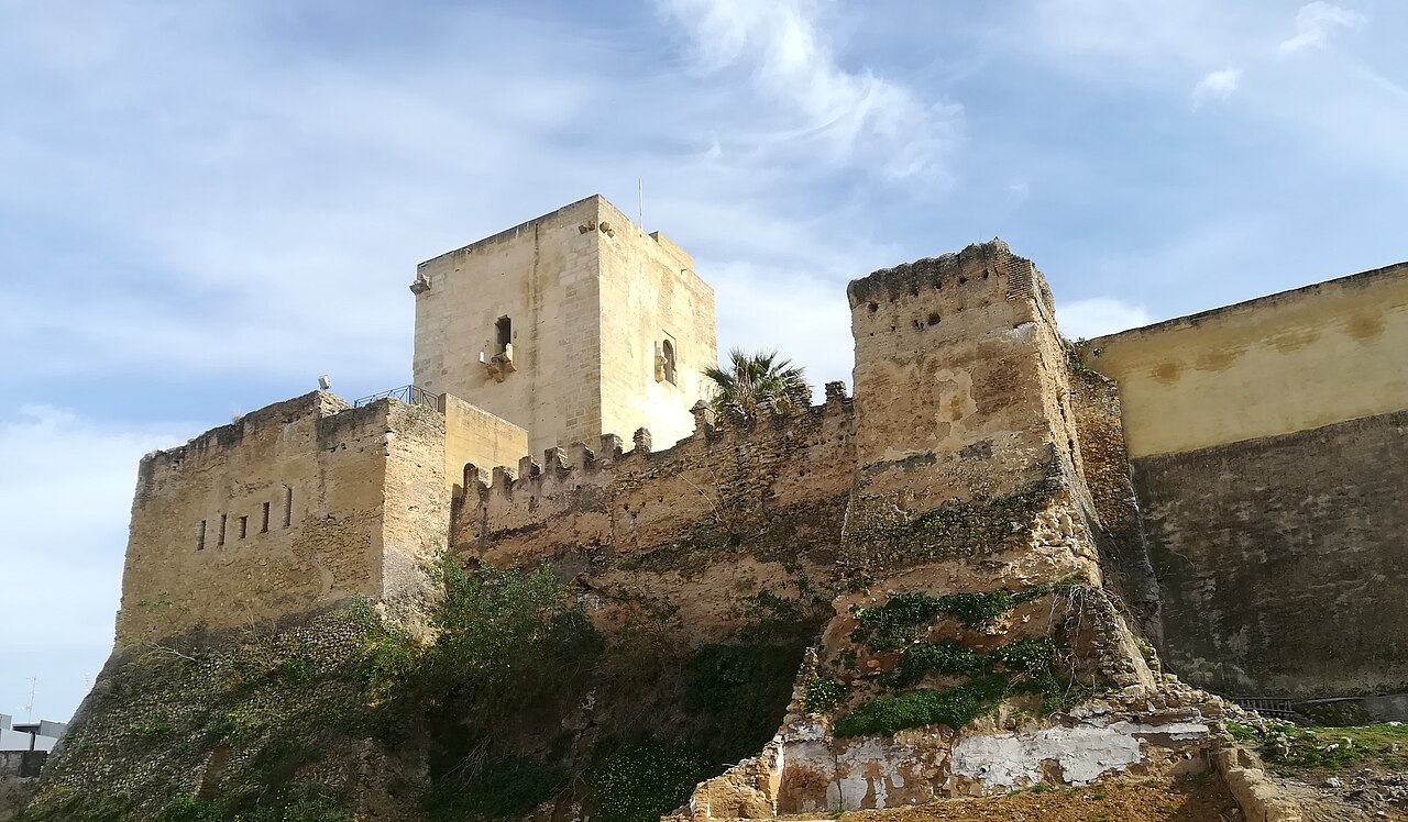
Castillo de Utrera, also called the alcazaba of Utrera, is a former fortification located in the Spanish municipality of Utrera, in the province of Seville. Its remains have the protection of the generic Declaration of the Decree of 22 April 1949, and of Law 16/1985 on Spanish Historical Heritage.
Machine-translated from “Castillo de Utrera” on the Spanish Wikipedia, CC BY-SA 4.0.
Castillo de Utrera ranks #8,417 of 9,079 worldwide in the atlas's castle fame ranking, and #510 of the 607 mapped in Spain. 1 more atlas landmarks stand within 25 km. The nearest day-trip guide is Seville, 30 km away. It is one of the 124 landmarks on the atlas's regional map of Andalusia. See how Spain compares in the castle statistics.
View on the interactive castle map →