 Italy
Italy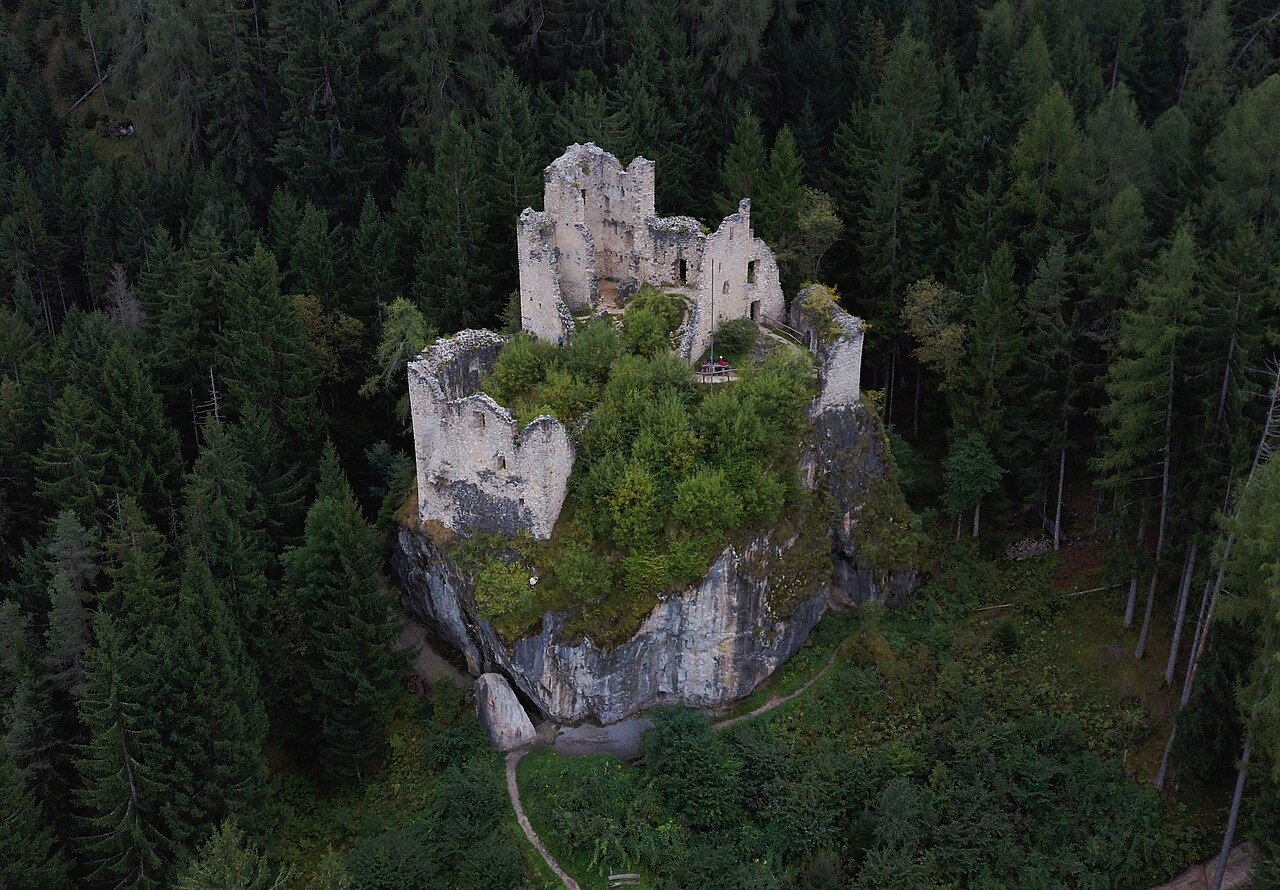
Hauenstein Castle, rarely also called Castelvecchio (in German Burg Hauenstein), is a castle located in the territory of Siusi allo Sciliar, a hamlet of the municipality of Castelrotto, in the province of Bolzano.
What remains of the castle, today only ruins, lies at the base of Punta Santner above a large dolomite block at 1,273 m above sea level (not far from Castel Salegg).
Machine-translated from “Castel Hauenstein” on the Italian Wikipedia, CC BY-SA 4.0.
Castle Hauenstein ranks #7,252 of 9,079 worldwide in the atlas's castle fame ranking, and #506 of the 560 mapped in Italy. 10 more atlas landmarks stand within 25 km. The nearest day-trip guide is Innsbruck, 82 km away. It is one of the 30 landmarks on the atlas's regional map of South Tyrol. See how Italy compares in the castle statistics.
View on the interactive castle map →