Castlemap

Ruin

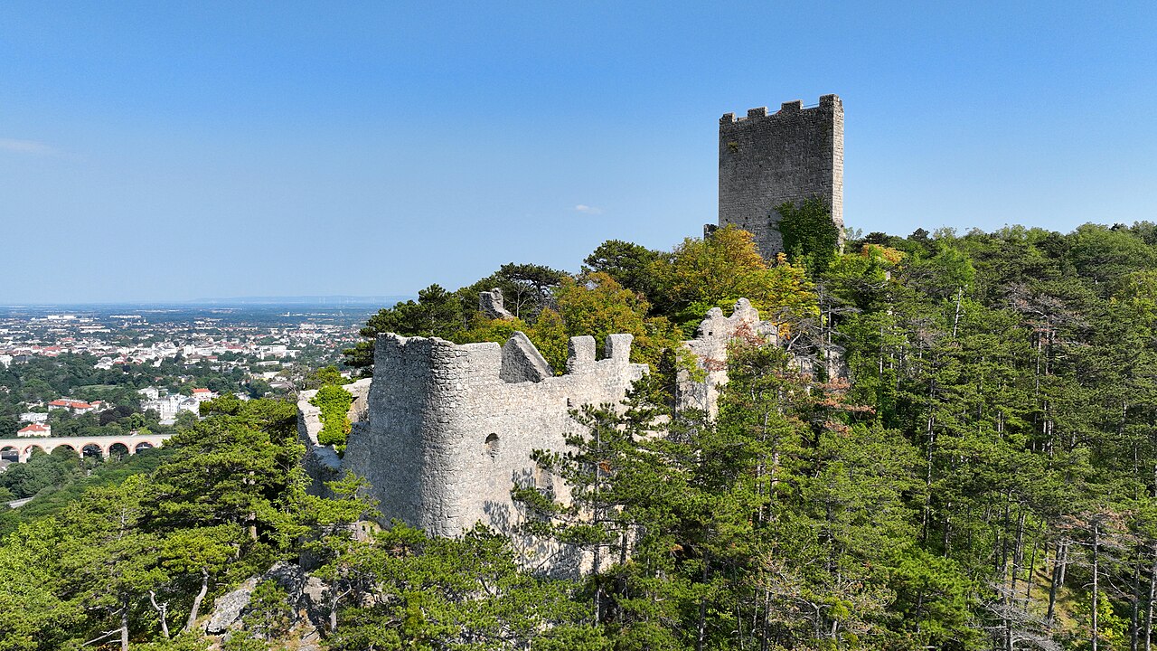
Castle ruins of Rauheneck

🇦🇹 Austria

Castle ruins of Rauheneck in Austria
Photo: C.Stadler/Bwag · CC BY-SA 4.0 · Wikimedia Commons

Rauheneck Castle (German: Burgruine Rauheneck) is a ruined castle in Lower Austria, Austria. It is 348 metres (1,142 ft) above sea level.

Text adapted from “Rauheneck Castle (Baden)” on Wikipedia, CC BY-SA 4.0.

Castle ruins of Rauheneck ranks #4,280 of 8,133 worldwide in the atlas's castle fame ranking, and #112 of the 201 mapped in Austria. 20 more atlas landmarks stand within 25 km. The nearest day-trip guide is Vienna, 26 km away. See how Austria compares in the castle statistics.

View on the interactive castle map →

Read the full history on Wikipedia ↗

Frequently asked questions

Where is Castle ruins of Rauheneck?

Castle ruins of Rauheneck stands in Austria, at 48.00617°, 16.20492°.

How famous is Castle ruins of Rauheneck?

In this atlas's fame ranking: #4,280 of 8,133 worldwide, and #112 in Austria. Fame here combines how many Wikipedia language editions cover a landmark with how many people read them.

What is the nearest castle to Castle ruins of Rauheneck?

Burgruine Rauhenstein, about 1 km away.

More castles in Austria

More ruins