 Ireland · 12th century
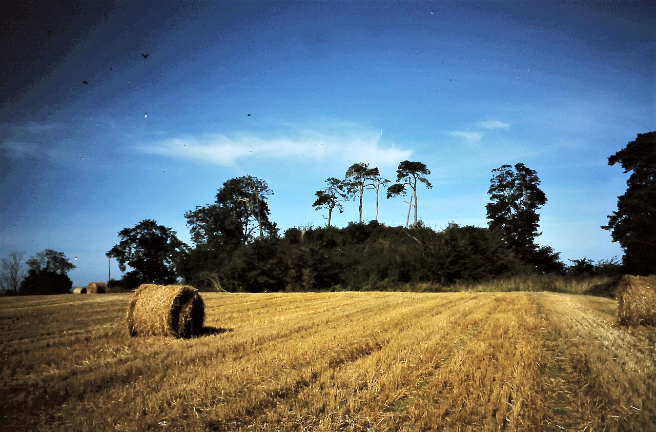
Castlemore Moat ranks #8,002 of 9,040 worldwide in the atlas's castle fame ranking, and #173 of the 178 mapped in Ireland. Founded c. 1150, it is older than 80% of the atlas's dated landmarks, one of 763 atlas entries founded in the 12th century. 9 more atlas landmarks stand within 25 km. The nearest day-trip guide is Waterford, 66 km away. See how Ireland compares in the castle statistics.
Castlemore Moat is a motte-and-bailey and National Monument in County Carlow, Ireland.
Castlemore Moat is about 2 kilometres (1.2 mi) northwest of Tullow and 2 kilometres west of the River Slaney. It is not to be confused with Castlemore House, a 19th-century country house 1 kilometre south of the motte.
The motte and bailey castle was constructed in the 12th century AD by Raymond FitzGerald (Raymond le Gros), one of the commanders of the Norman invasion of Ireland. The land of Forth O'Nolan was granted to Raymond and he married Basilia, sister of Strongbow. They lived together at Castlemore.
All that remains is the motte, an artificial hill about 9 metres (30 ft) high, and a standing stone measuring 170 by 45 by 30 centimetres (5.58 by 1.48 by 0.98 ft) with a Latin cross inscribed in it, with a suppedaneum (foot-rest at the base). The motte is not a perfect circle, but measures 18 metres (59 ft) east-to-west and 13 metres (43 ft) north-to-south.
Text adapted from “Castlemore Moat” on Wikipedia, CC BY-SA 4.0.
View on the interactive castle map →