 Romania · 13th century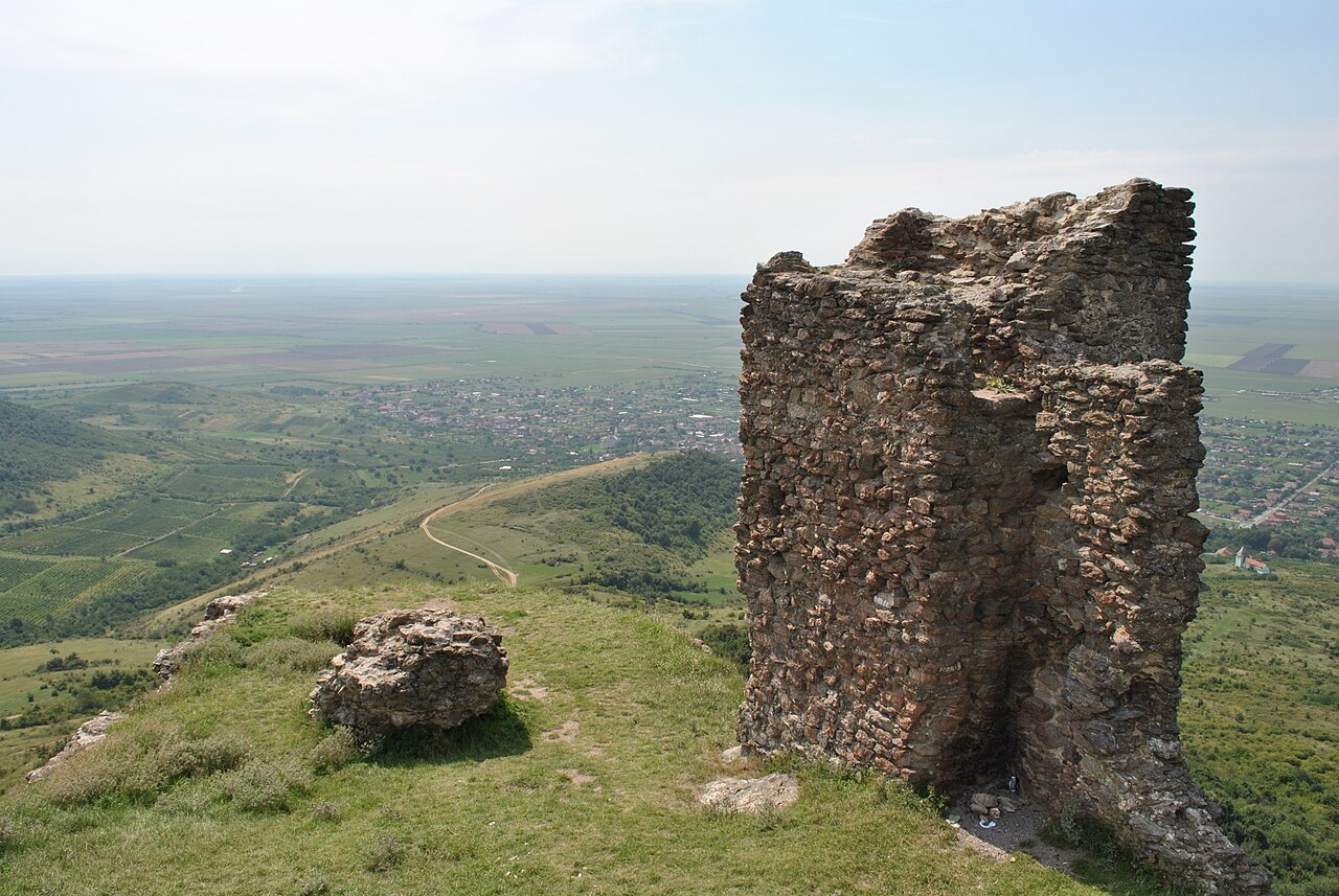
The Șiria Fortress is a historic monument fortress (code LMI AR-II-a-A-00650), dating from the 13th century, built on Dealul Cetății (Fortress Hill, 496 m), from where it dominates the region around the village of Șiria.
Machine-translated from “Cetatea Șiriei” on the Romanian Wikipedia, CC BY-SA 4.0.
Cetatea Șiriei ranks #6,485 of 9,079 worldwide in the atlas's castle fame ranking, and #62 of the 126 mapped in Romania. Founded c. 1250, it is older than 67% of the atlas's dated landmarks — one of 1080 atlas entries founded in the 13th century. Its Wikipedia articles were opened 1,078 times in the last 60 days, more than 52% of the atlas. 3 more atlas landmarks stand within 25 km. See how Romania compares in the castle statistics.
View on the interactive castle map →