Ruin
Château d'Hyères
 France
- Heritage status
- monument historique inscrit · classified historical monument
- Location
- Hyères
- Coordinates
- 43.1231°, 6.12333°
- Open data
- Wikidata Q2969406
- Links
- Wikimedia Commons
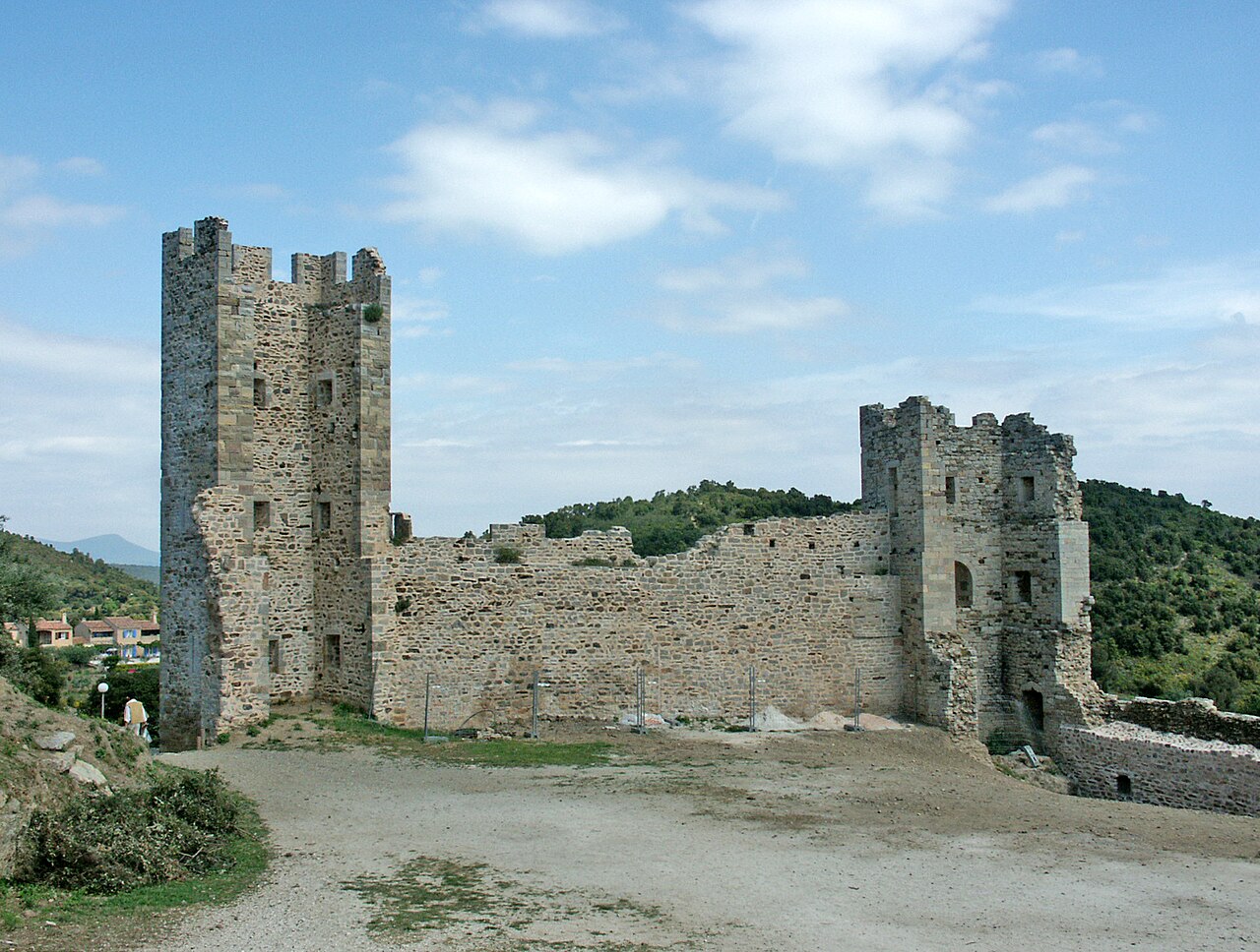
Description
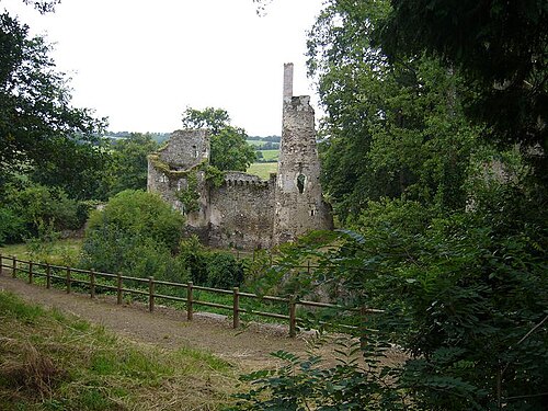
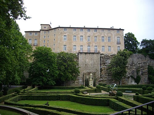
The Château d'Hyères is a ruined medieval castle located at the summit of the Castéou hill (198 m), one of the peaks of the Maurettes, overlooking the town of Hyères, in the department of Var. The remains of the castle were classified as historic monuments by the list of 1862; the rampart and the old castle have been listed since 27 January 1926.
Machine-translated from “Château d'Hyères” on the French Wikipedia, CC BY-SA 4.0.
In the rankings
Château d'Hyères ranks #8,027 of 9,902 worldwide in the atlas's castle fame ranking, and #804 of the 954 mapped in France. 2 more atlas landmarks stand within 25 km. The nearest day-trip guide is Marseille, 64 km away. See how France compares in the castle statistics.
Castles nearby
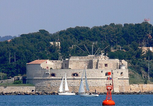
- Tour Royale16 km · France
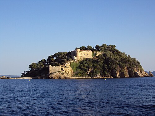
- Fort de Brégançon16 km · France
- Fraxinetum35 km · France
- Château d'Entrecasteaux45 km · France
More castles in France
- Château de la TurmelièreFrance
- Château de DigoineFrance
- Château de BoigneFrance · 19th century