Palace
Château de Châtillon-Coligny
 France · 12th century
- Founded
- c. 1180
- Heritage status
- monument historique inscrit · classified historical monument
- Location
- Châtillon-Coligny
- Coordinates
- 47.8221°, 2.8493°
- Open data
- Wikidata Q22943820
Description
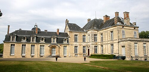
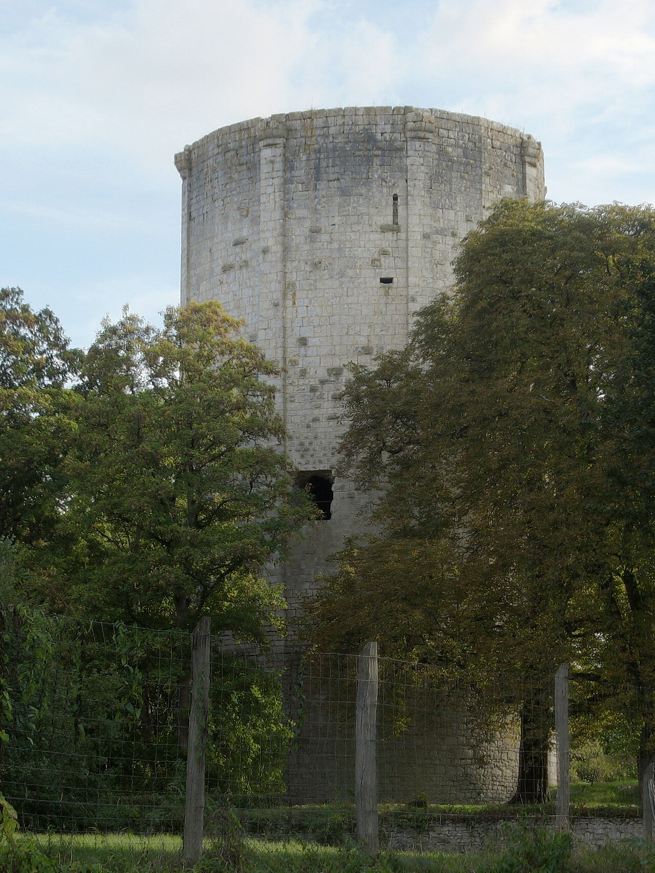
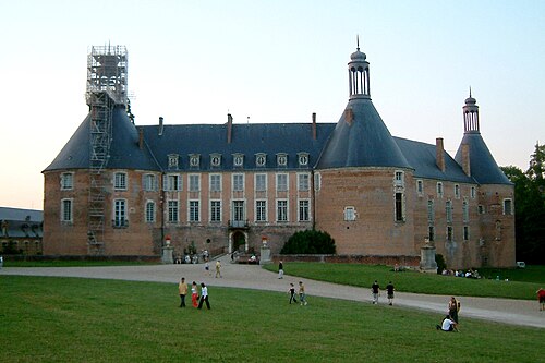
The Château de Châtillon-Coligny is a castle, later replaced with a smaller château, in the commune of Châtillon-Coligny in the Loiret département of France.
The present structure is heavily modified. Its origins were a medieval fortress whose keep was constructed around 1180. The castle was rebuilt during the Renaissance and demolished from 1798. A new, more modest château was constructed in 1854. Of the original, the keep and a Renaissance well, attributed to Jean Goujon, are the only remains.
Text adapted from “Château de Châtillon-Coligny” on Wikipedia, CC BY-SA 4.0.
In the rankings
Château de Châtillon-Coligny ranks #6,679 of 9,040 worldwide in the atlas's castle fame ranking, and #604 of the 787 mapped in France. Founded c. 1180, it is older than 78% of the atlas's dated landmarks, one of 763 atlas entries founded in the 12th century. 3 more atlas landmarks stand within 25 km. The nearest day-trip guide is Orléans, 71 km away. See how France compares in the castle statistics.
Castles nearby
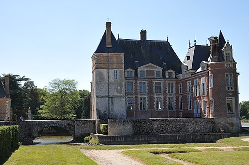
- Château de La Bussière11 km · France
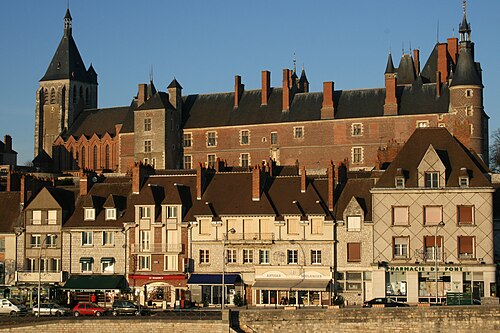
- Château de Gien22 km · France
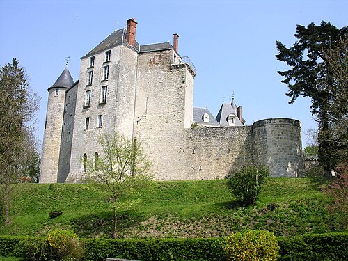
- Château de Saint-Brisson-sur-Loire23 km · France
- Château de Saint-Fargeau26 km · France
More castles in France
- Château de CireyFrance
- Château de Cons-la-GrandvilleFrance · 11th century
- Château de CornodFrance · 19th century
- Château de CostaérèsFrance · 19th century