Ruin
Château de Grangent
 France · 8th century
- Founded
- c. 800
- Heritage status
- monument historique inscrit
- Location
- Saint-Just-Saint-Rambert
- Coordinates
- 45.46486°, 4.25389°
- Open data
- Wikidata Q2969355
- Links
- Wikimedia Commons
Description
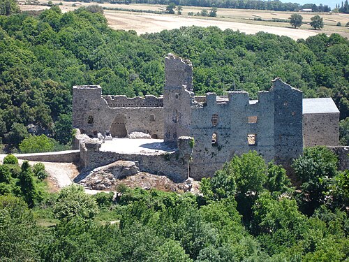
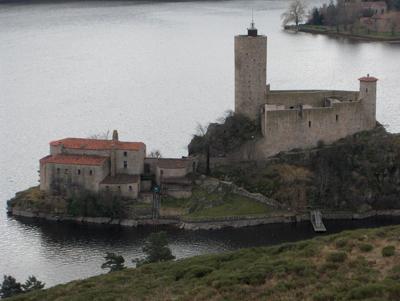
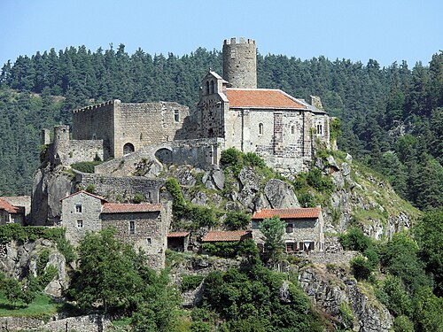
The Château de Grangent is a ruined castle in the commune of Saint-Just-Saint-Rambert in the Loire département of France.
At the time of its construction, originally around 800, it was on a promontory standing some 50 metres above the river Loire. The building of the Grangent dam means that it is now on a small island in a lake, the lac de Grangent. It is overlooked by the larger castle, the Château d'Essalois. During the Middle Ages and later, it suffered destruction, rebuilding and several restorations.
It has been listed since 1945 as a monument historique by the French Ministry of Culture. The castle is privately owned.
Text adapted from “Château de Grangent” on Wikipedia, CC BY-SA 4.0.
In the rankings
Château de Grangent ranks #6,396 of 9,902 worldwide in the atlas's castle fame ranking, and #568 of the 954 mapped in France. Founded c. 800, it is older than 95% of the atlas's dated landmarks, one of 51 atlas entries founded in the 8th century. 3 more atlas landmarks stand within 25 km. The nearest day-trip guide is Lyon, 56 km away. See how France compares in the castle statistics.
Castles nearby
- Château d'Essalois1 km · France
- Château de Bouthéon9 km · France
- Château de Rochetaillée16 km · France
- Château de Chalencon29 km · France
More castles in France
- Château de Montréal (Peyrehorade)France · 16th century
- Château de DoumelyFrance · 15th century
- Château du MaraisFrance
- Château de SaissacFrance · 10th century