Ruin
Brštanik
 Croatia · 13th century
- Founded
- c. 1300
- Heritage status
- Register of Cultural Goods of Croatia
- Location
- Opuzen
- Elevation
- 54 m
- Coordinates
- 43.00946°, 17.56585°
- Open data
- Wikidata Q25556354
- Links
- OpenStreetMap · Wikimedia Commons
Description
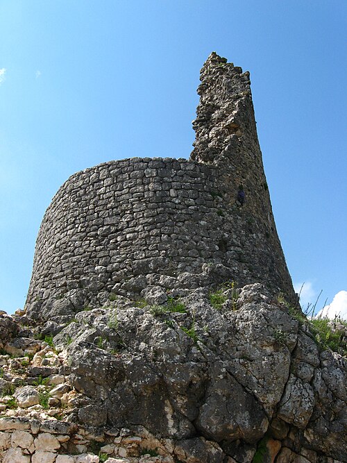
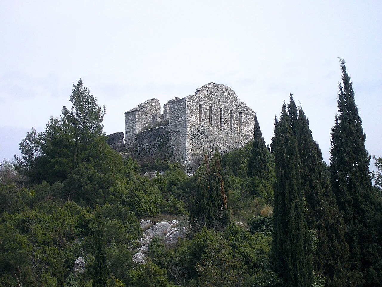
Brštanik was a medieval town on the left bank of the river Neretva, next to the town of Opuzen, Croatia. The first mention dates from the 12th century, as a property of Prince Miroslav of Hum. In 1373 the ban of Bosnia Tvrtko I Kotromanić built a fortress on the foundations of the existing Roman fortress, which, besides its defensive function, also served as a salt market. With its construction, Tvrtko obtained access to the sea, and with the intention of building shipyards planned to avoid economic and traffic dependence on the Republic of Ragusa. The Ragusans demolished it in 1472 and the Ottomans also in 1483.
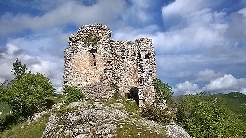
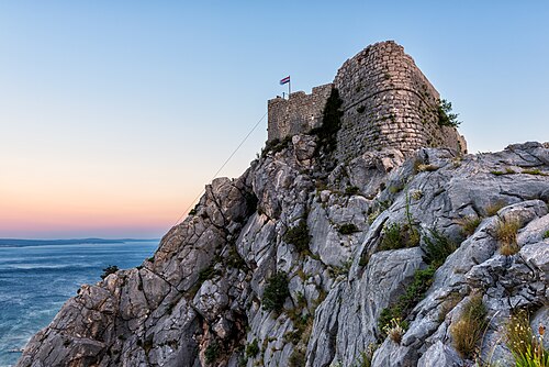
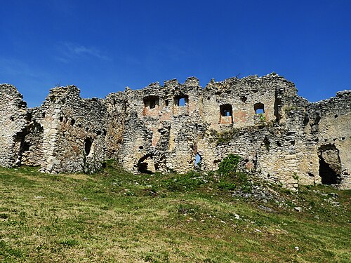
The Republic of Venice restored it in its present form in 1686, and until 1878 it served as a fortress with a military garrison. From 1886 it served as a hospital for cholera patients, and in 1938 it was burnt down. The fort is currently in ruins. It is on the list of protected cultural assets of Croatia.
Machine-translated from “Brštanik (Opuzen)” on the Spanish Wikipedia, CC BY-SA 4.0.
In the rankings
Brštanik ranks #7,752 of 9,902 worldwide in the atlas's castle fame ranking, and #74 of the 80 mapped in Croatia. Founded c. 1300, it is older than 61% of the atlas's dated landmarks, one of 1134 atlas entries founded in the 13th century. 4 more atlas landmarks stand within 25 km. It is one of the 33 landmarks on the atlas's regional map of Dalmatia. It is stop 15 of 22 on the Dalmatian fortress coast, Zadar to Dubrovnik. See how Croatia compares in the castle statistics.
Castles nearby
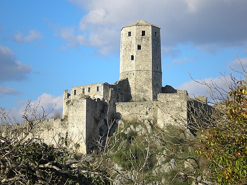
- Počitelj Citadel
 19 km · Bosnia and Herzegovina
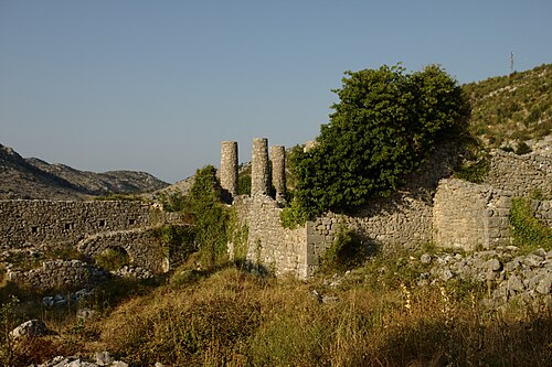
- Hutovo Fortress20 km · Bosnia and Herzegovina
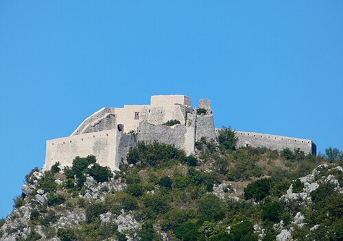
- Ljubuški Fortress21 km · Bosnia and Herzegovina
- Walls of Ston22 km · Croatia
More castles in Croatia
- NutjakCroatia · 15th century
- Čačvina CastleCroatia · 13th century
- Starigrad FortressCroatia · 15th century
- MilengradCroatia · 13th century