Castle
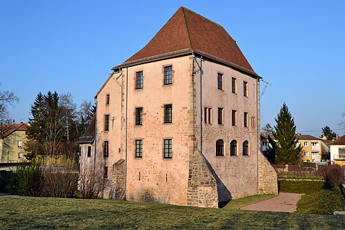
Château de Hartmannswiller
 France · 14th century
- Founded
- 1308
- Heritage status
- monument historique inscrit
- Location
- Hartmannswiller
- Coordinates
- 47.8624°, 7.21876°
- Open data
- Wikidata Q2969386
- Links
- OpenStreetMap · Wikimedia Commons

Description
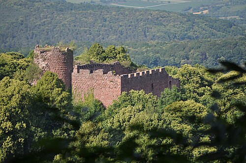
Château de Hartmannswiller is a castle in the commune of Hartmannswiller, in the department of Haut-Rhin, Alsace, France. Although a castle was already mentioned in the 14th century, the present structure mainly dates from the 16th and 18th century. It is a listed historical monument since 1988. It was
Text adapted from “Château de Hartmannswiller” on Wikipedia, CC BY-SA 4.0.
In the rankings
Château de Hartmannswiller ranks #8,893 of 9,902 worldwide in the atlas's castle fame ranking, and #910 of the 954 mapped in France. Founded 1308, it is older than 60% of the atlas's dated landmarks, one of 797 atlas entries founded in the 14th century. 9 more atlas landmarks stand within 25 km. The nearest day-trip guide is Mulhouse, 16 km away. It is one of the 63 landmarks on the atlas's regional map of Alsace. See how France compares in the castle statistics.
Castles nearby
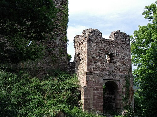
- Château de Bucheneck3 km · France
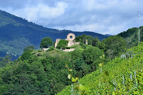
- Château du Hugstein7 km · France
- Château de l'Engelbourg10 km · France
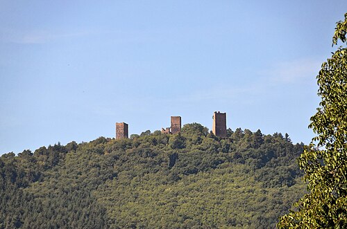
- Les Trois Châteaux20 km · France
More castles in France
- Château de KerguéhennecFrance · 18th century
- Château de LargoëtFrance · 11th century
- Chateau de LevevilleFrance · 15th century
- Château de LutzelbourgFrance · 12th century