Ruin
Château de La Ferté-Vidame
 France · 14th century
- Founded
- c. 1400
- Style
- Classical architecture
- Architect
- Antoine Matthieu Le Carpentier
- Heritage status
- monument historique inscrit · classified historical monument
- Location
- La Ferté-Vidame
- Coordinates
- 48.6082°, 0.89959°
- Open data
- Wikidata Q2971232
- Links
- Wikimedia Commons
Description
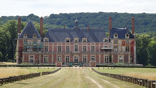
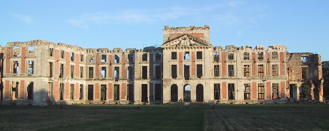
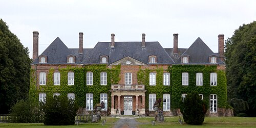
The Château de la Ferté-Vidame, built in the 14th century, rebuilt in the 18th century and ruined during the French Revolution, is located in the commune of the same name in the department of Eure-et-Loir in the Centre-Val de Loire region.
All that remains of it is an impressive ruin as well as the outbuildings ("petit château").
The château has been listed as a historic monument since 24 February 1976 for the buildings (the ruins of the château, the façades and roofs of the outbuildings, the château's main gate), and was also listed on 26 February 1991 for its park and its pavilions. It was also registered on 26 September 2007 for the part called "le petit château".
Machine-translated from “Château de la Ferté-Vidame” on the French Wikipedia, CC BY-SA 4.0.
In the rankings
Château de La Ferté-Vidame ranks #5,665 of 9,902 worldwide in the atlas's castle fame ranking, and #486 of the 954 mapped in France. Founded c. 1400, it is older than 51% of the atlas's dated landmarks, one of 797 atlas entries founded in the 14th century. Its Wikipedia articles were opened 1,988 times in the last 60 days, more than 73% of the atlas. The nearest day-trip guide is Évreux, 50 km away. It is one of the 43 landmarks on the atlas's regional map of Normandy. See how France compares in the castle statistics.
Castles nearby
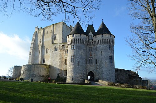
- Château Saint-Jean de Nogent-le-Rotrou33 km · France
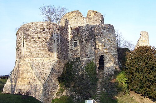
- Château de Conches-en-Ouche39 km · France
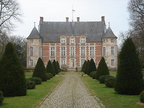
- Chateau de Leveville41 km · France
- Château des Laitiers44 km · France
More castles in France
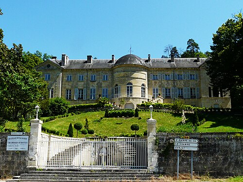
- Château d'EscoireFrance
- Château de Franconville-aux-BoisFrance · 19th century
- Château de Rosny-sur-SeineFrance · 16th century