Ruin
Château royal de Senlis
 France
- Heritage status
- monument historique inscrit · classified historical monument
- Location
- Senlis
- Coordinates
- 49.2074°, 2.5842°
- Open data
- Wikidata Q2971879
- Links
- Wikimedia Commons
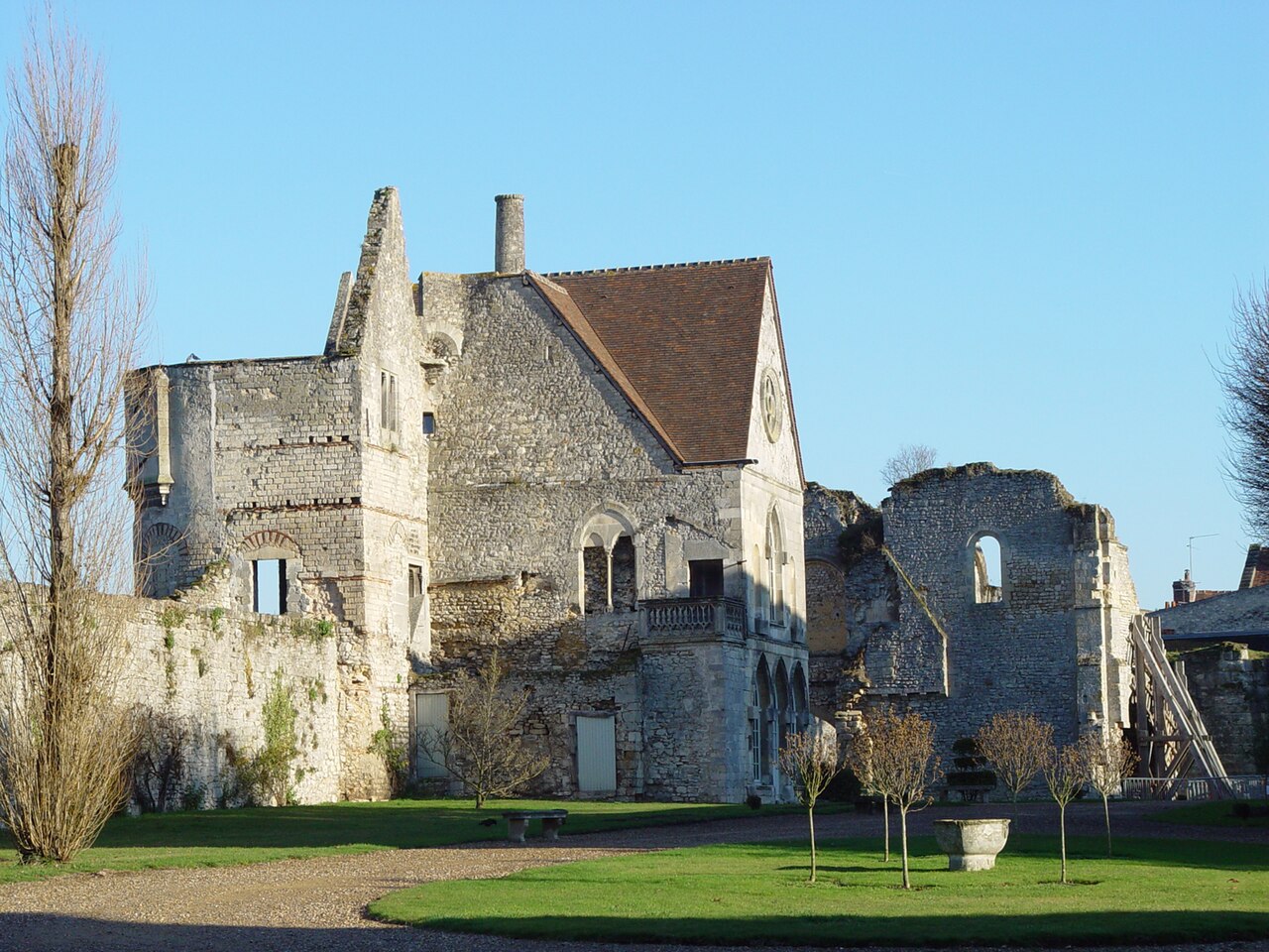
Description
The royal castle of Senlis dates back to the time of the Merovingians and was the place of the election of Hugh Capet in 987, but was entirely rebuilt under Louis the Fat around 1130. It was used as a royal residence until the beginning of the 16th century and fell into ruin shortly before the Revolution, and the surviving buildings were for the most part demolished in 1812 and 1861. The priory of Saint-Maurice is a foundation of Saint Louis of about 1262-1264 and was built close to the royal castle. Because of the insufficient number of monks, it was suppressed in 1768; the cloister and the chapel were demolished after the Revolution.
There remain the monks' building, today a municipal multi-purpose hall, and the 18th-century prior's lodging, bought by the town of Senlis in 1956 to install the musée de la Vénerie there. The whole of the ruins of the royal castle and of the priory of Saint-Maurice is situated on a single plot, laid out as a park, and accessible free of charge every day except Tuesday.
Machine-translated from “Château royal de Senlis et prieuré Saint-Maurice” on the French Wikipedia, CC BY-SA 4.0.
In the rankings
Château royal de Senlis ranks #6,856 of 9,902 worldwide in the atlas's castle fame ranking, and #631 of the 954 mapped in France. Its Wikipedia articles were opened 972 times in the last 60 days, more than 54% of the atlas. 11 more atlas landmarks stand within 25 km. The nearest day-trip guide is Compiègne, 29 km away. See how France compares in the castle statistics.
Castles nearby
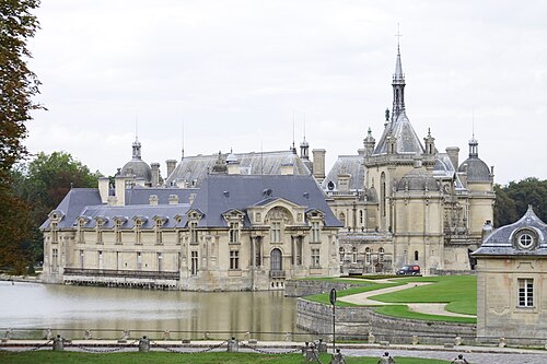
- Château de Chantilly7 km · France
- Château des Fontaines10 km · France
- Château de Raray11 km · France
- Château de Montvillargenne12 km · France
More castles in France
- Château de NeuvilleFrance
- Château de ChaintréFrance
- Château de BournelFrance · 19th century
- César TowerFrance · 12th century