Fortress
Citadelle de Sisteron
 France
- Heritage status
- monument historique inscrit · classified historical monument
- Location
- Sisteron
- Coordinates
- 44.19889°, 5.94306°
- Open data
- Wikidata Q206260
- Links
- OpenStreetMap · Wikimedia Commons
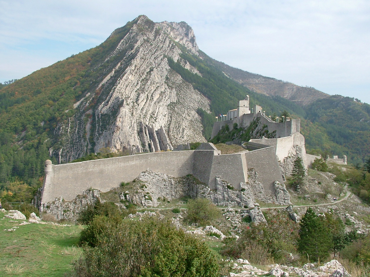
Description
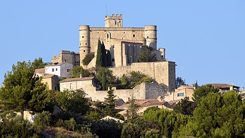
At an altitude of 500 m, the citadel of Sisteron overlooks the town of Sisteron — located in a passage between the Dauphiné and Provence — and the Durance. Built on a rocky spur, it is the first thing one sees on arriving in the town. The citadel, with its fortifications, was a strategic lock on the road leading from the Alps to the Mediterranean. Listed as a historic monument, it is the centrepiece of the town. Jean Errard, military engineer of Henry IV, and then Vauban left their mark on it.
Machine-translated from “Citadelle de Sisteron” on the French Wikipedia, CC BY-SA 4.0.
In the rankings
Citadelle de Sisteron ranks #6,361 of 9,902 worldwide in the atlas's castle fame ranking, and #564 of the 954 mapped in France. Its Wikipedia articles were opened 1,271 times in the last 60 days, more than 62% of the atlas. See how France compares in the castle statistics.
Castles nearby
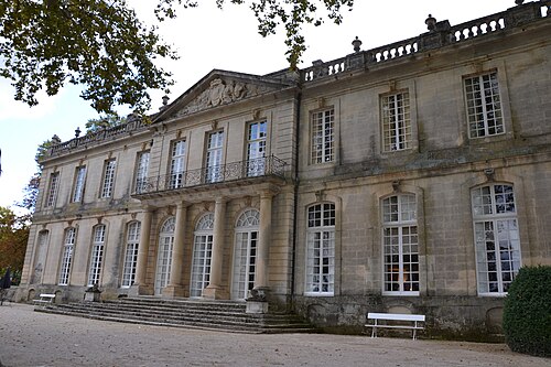
- Château de Sauvan34 km · France
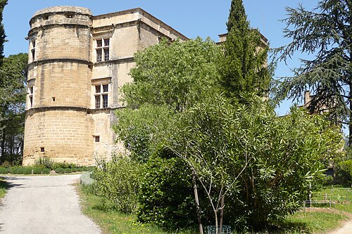
- Château de Lourmarin67 km · France
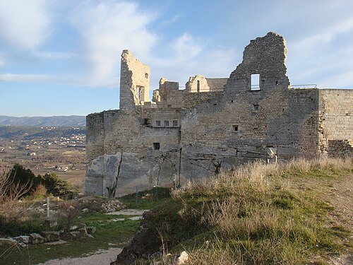
- Château de Lacoste67 km · France
- Barroux Castle68 km · France
More castles in France
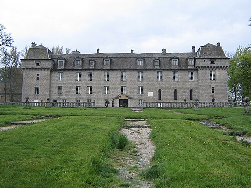
- Château de la BaumeFrance
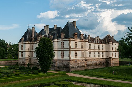
- Château de CormatinFrance · 17th century
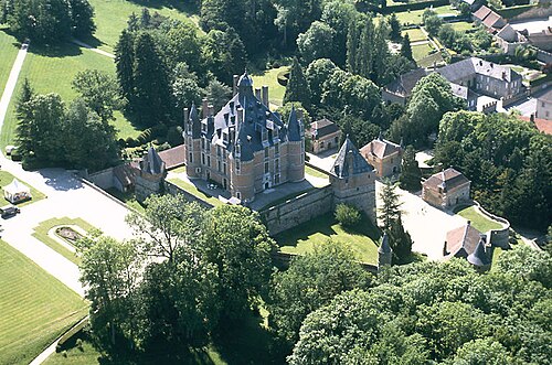
- Château de MontmortFrance · 16th century
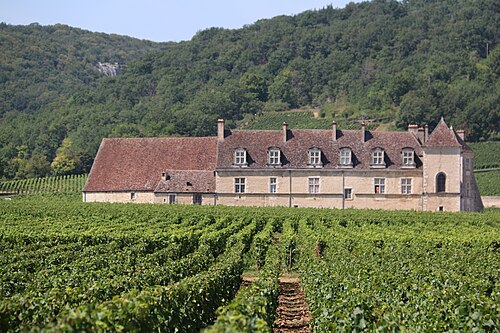
- Clos de VougeotFrance · 16th century