 Luxembourg · 12th century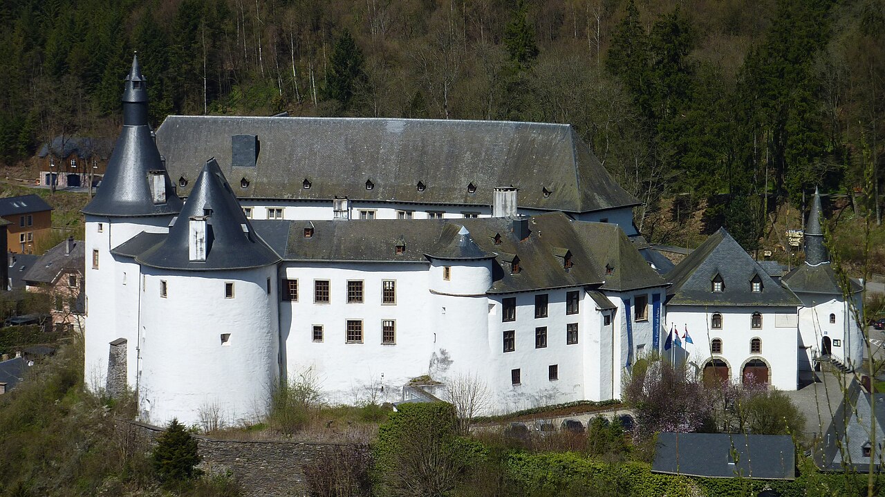
Clervaux Castle (Luxembourgish: Schlass Klierf, German: Schloss Clerf, French: Château de Clervaux) in the town of Clervaux in Northern Luxembourg dates back to the 12th century. Destroyed by the fire in the Second World War during the Battle of the Bulge, the castle has now been fully rebuilt. It houses the commune's administrative offices as well as a museum containing an exhibition of Edward Steichen's photographs.
Text adapted from “Clervaux Castle” on Wikipedia, CC BY-SA 4.0.
Clervaux Castle ranks #1,843 of 9,079 worldwide in the atlas's castle fame ranking, and #7 of the 49 mapped in Luxembourg. Founded c. 1200, it is older than 75% of the atlas's dated landmarks — one of 756 atlas entries founded in the 12th century. Its Wikipedia articles were opened 2,581 times in the last 60 days, more than 75% of the atlas. 14 more atlas landmarks stand within 25 km. The nearest day-trip guide is Luxembourg, 50 km away. See how Luxembourg compares in the castle statistics.
View on the interactive castle map →