Palace
Dobra Palace
 Poland · 18th century
- Founded
- c. 1800
- Architect
- Moritz Wilhelm Gottgetreu
- Heritage status
- immovable monument in Poland
- Location
- Dobra, Opole Voivodeship
- Coordinates
- 50.45297°, 17.88994°
- Open data
- Wikidata Q23936658
- Links
- Wikimedia Commons
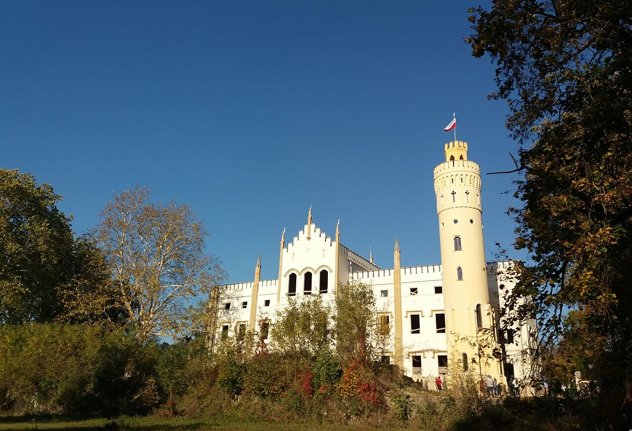
Description
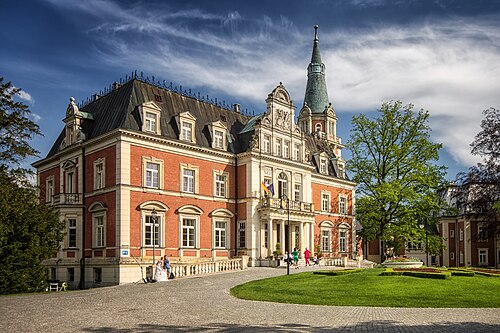
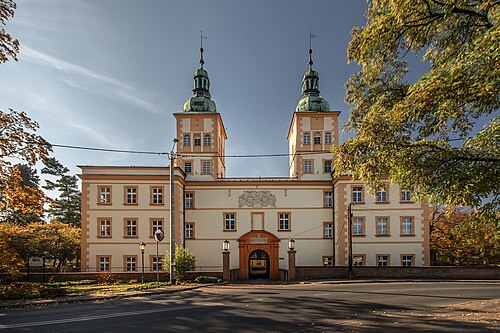
The palace and park complex in Dobra (German: Schloß Dobrau) is a historic Neo-Gothic palace surrounded by a park, located in Dobra in the Prudnik Land. It was the former seat of the Redern and Seherr-Thoss families. The property is located on voivodeship road no. 409, between Prudnik (31 km) and Krapkowice (5 km). It was built through the efforts of Count Hermann von Seherr-Thoss in the years 1857–1860 on the site of the previous Baroque palace, which dated from 1750.
Machine-translated from “Zespół pałacowo-parkowy w Dobrej” on the Polish Wikipedia, CC BY-SA 4.0.
In the rankings
Dobra Palace ranks #7,545 of 9,902 worldwide in the atlas's castle fame ranking, and #293 of the 455 mapped in Poland. Founded c. 1800, it is older than 12% of the atlas's dated landmarks, one of 757 atlas entries founded in the 18th century. 9 more atlas landmarks stand within 25 km. The nearest day-trip guide is Opole, 24 km away. See how Poland compares in the castle statistics.
Castles nearby
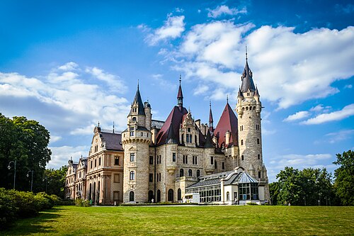
- Moszna Castle9 km · Poland
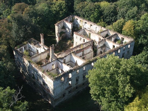
- Chrzelice Castle11 km · Poland
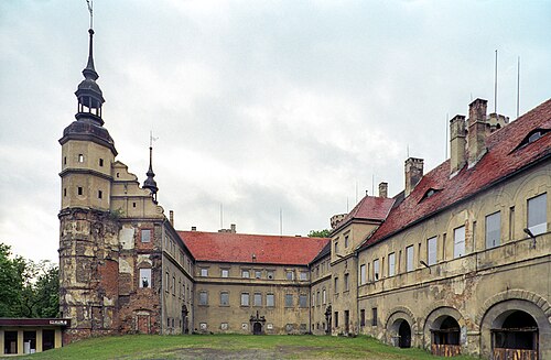
- Głogówek Castle11 km · Poland
- Prószków Castle14 km · Poland
More castles in Poland
- Korn Palace in PawłowicePoland
- Sztynort PalacePoland · 17th century
- Palace in JedlinkaPoland · 13th century
- Radziwills’ Palace in JadwisinPoland · 19th century