Palace
Electoral Palace (Amberg)
 Germany · 15th century
- Founded
- 1417
- Heritage status
- architectural heritage monument in Bavaria
- Location
- Amberg
- Coordinates
- 49.4428°, 11.8567°
- Open data
- Wikidata Q1669359
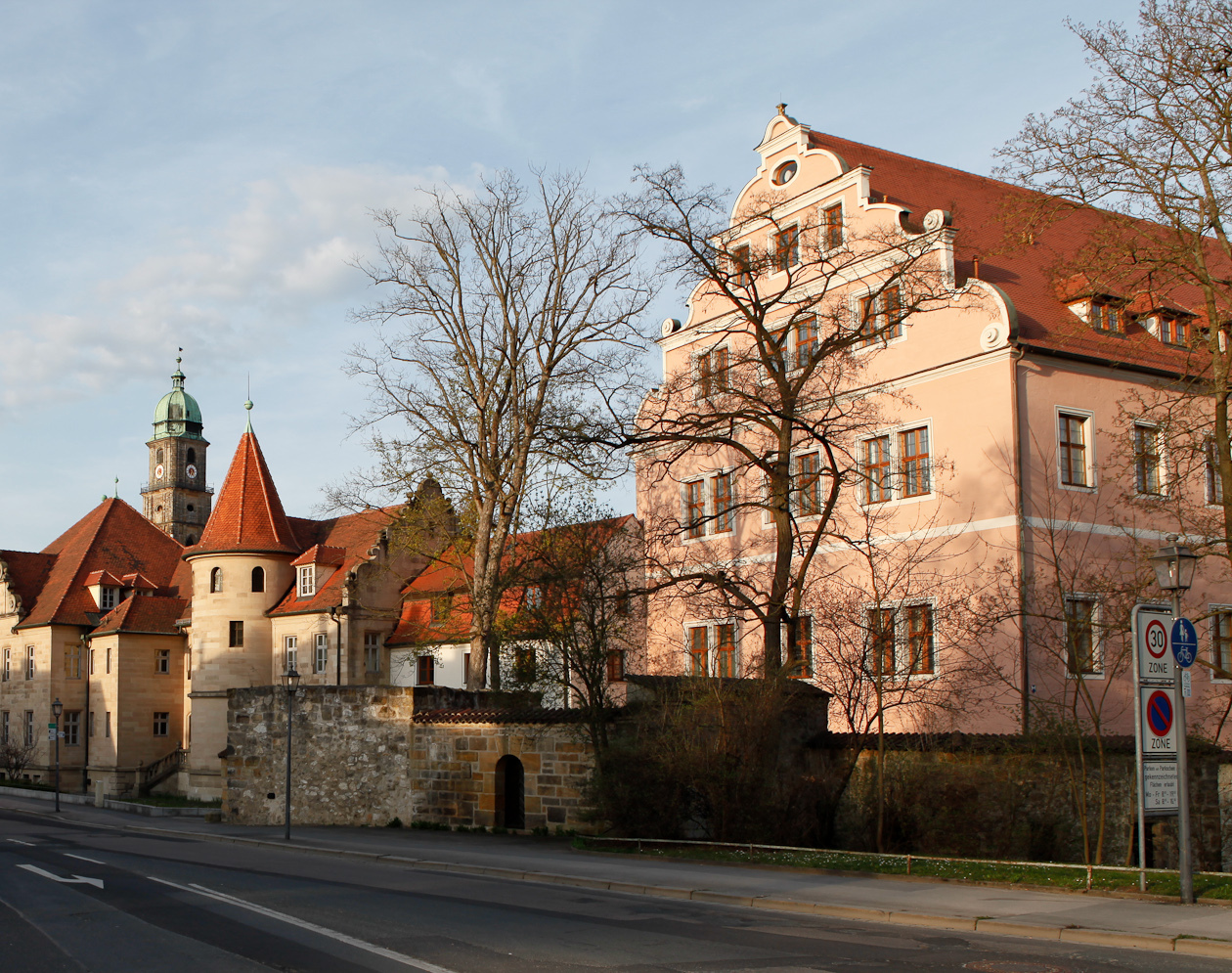
Description
The Electoral Palace (German: Kurfürstliches Schloss) is a Schloss in Amberg. After several large fires in the 17th century, only the south wing (Neues Schloss) remains from the once three-winged palace. It is connected through the fortified bridge Stadtbrille, to the Zeughaus (armory) across the Vils river.
It was built from 1417 by Louis III, Elector Palatine, and replaced the Alte Veste, a Gothic building in the town center, as the electoral court. The original building on the north was added with a south wing, a moat and a gatehouse, by Elector Frederick I turning it into a fortress. Its present appearance with a high voluted gable was set in 1603 by Johannes Schoch, who redesigned the Zeughaus with an added tower on the south. On 1738 horse stables were built as a western wing.
Having served the Electors of the Palatinate from its construction to the abolition of the Electorate, the castle was home, since the 19th century, first to the Royal Bavarian District office and Revenue office, later the District Office of the Bavarian State Amberg District and from 1972 of the District of Amberg-Sulzbach.
Text adapted from “Electoral Palace, Amberg” on Wikipedia, CC BY-SA 4.0.
In the rankings
Electoral Palace (Amberg) ranks #7,084 of 9,040 worldwide in the atlas's castle fame ranking, and #637 of the 714 mapped in Germany. Founded 1417, it is older than 49% of the atlas's dated landmarks, one of 556 atlas entries founded in the 15th century. 1 more atlas landmarks stand within 25 km. See how Germany compares in the castle statistics.
Castles nearby
- Burg Wernberg25 km · Germany
- Burg Veldenstein30 km · Germany
- Henfenfeld Castle34 km · Germany
- Burgruine Hohenstein35 km · Germany
More castles in Germany
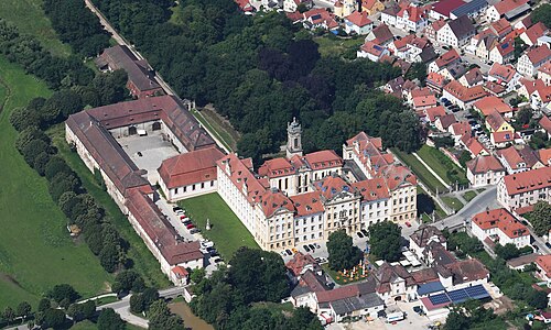
- Ellingen ResidenceGermany
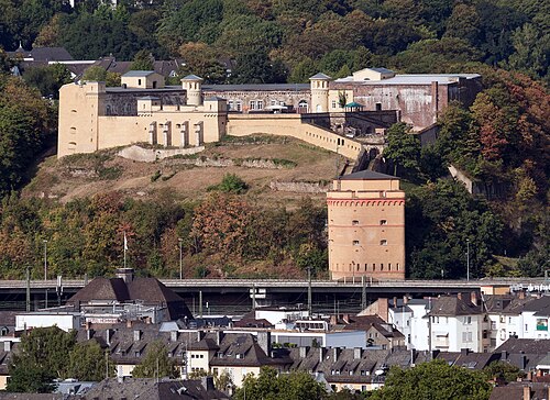
- Fort ConstantinGermany · 19th century
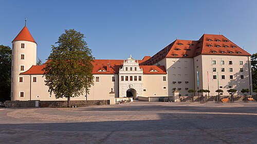
- Freudenstein CastleGermany · 14th century
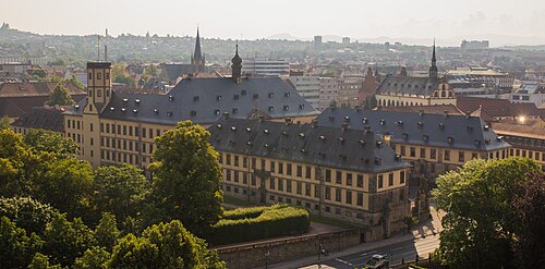
- Fulda City PalaceGermany · 13th century