 Netherlands · 19th century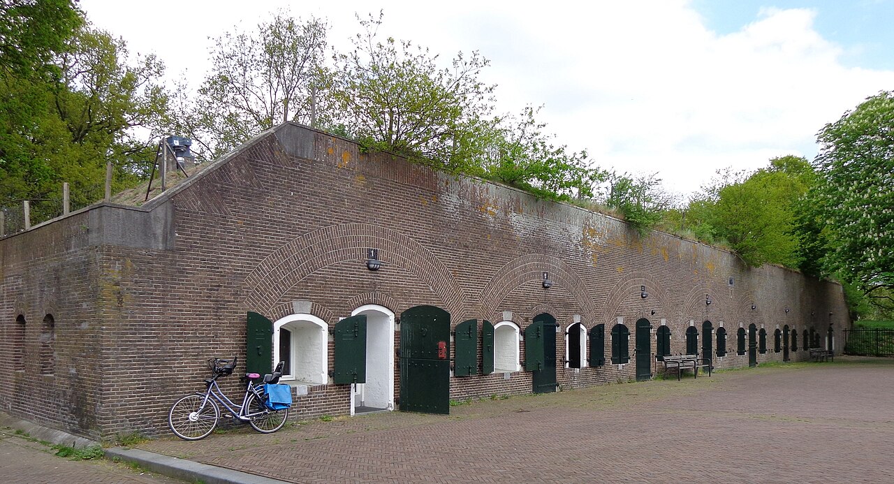
Fort Blauwkapel (also: Blaucapel) is a Dutch fort near Utrecht. The fort was built in 1818-1821 as part of the New Dutch Waterline and is one of the largest forts of the line. Blauwkapel is a protected townscape.
Machine-translated from “Fort Blauwkapel” on the Dutch Wikipedia, CC BY-SA 4.0.
Fort Blauwkapel ranks #8,603 of 9,079 worldwide in the atlas's castle fame ranking, and #179 of the 199 mapped in Netherlands. Founded 1818, it is older than 11% of the atlas's dated landmarks — one of 717 atlas entries founded in the 19th century. 28 more atlas landmarks stand within 25 km. The nearest day-trip guide is Utrecht, 3 km away. See how Netherlands compares in the castle statistics.
View on the interactive castle map →