 France · 17th century
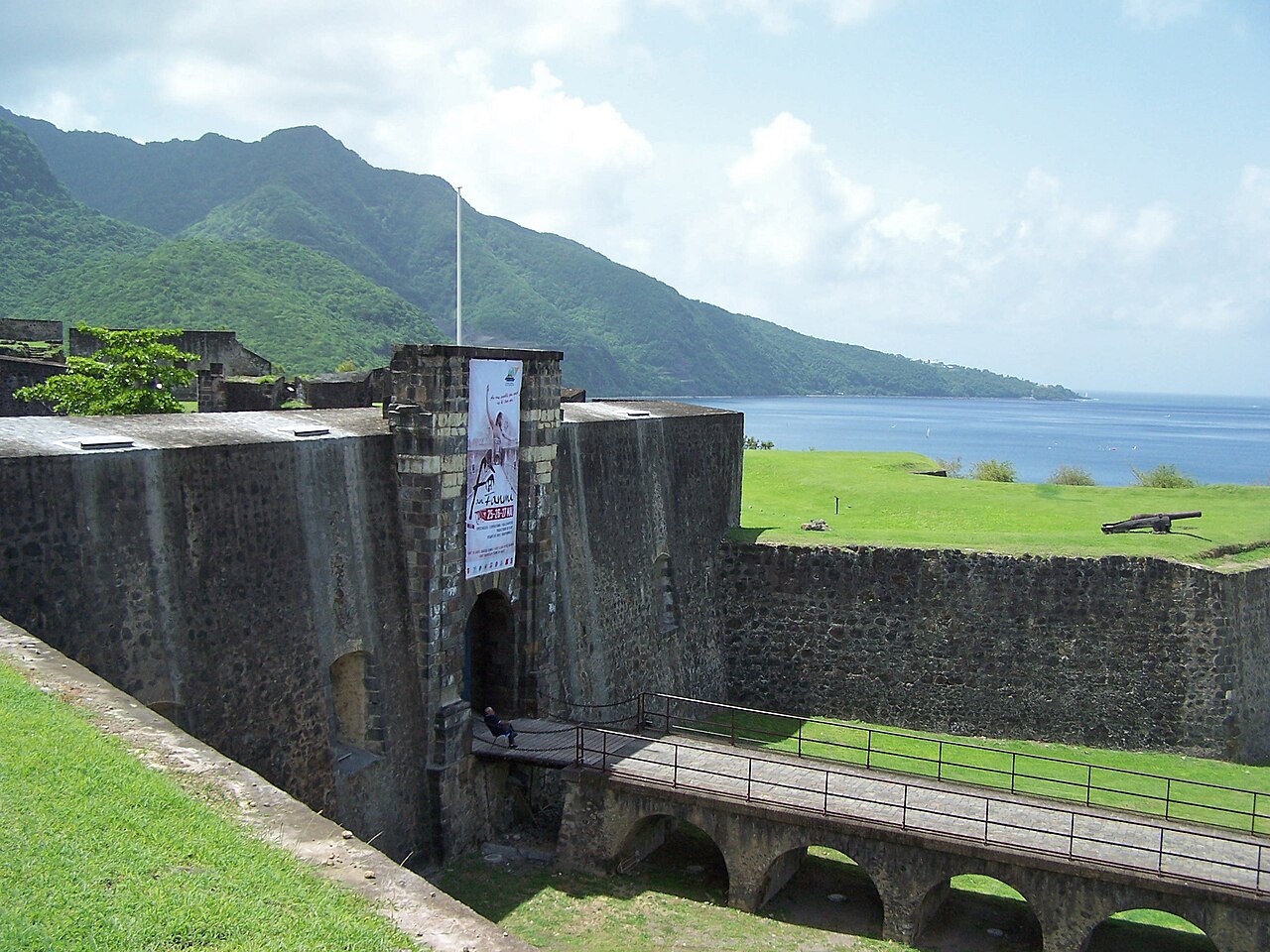
Fort Delgrès ranks #4,569 of 9,040 worldwide in the atlas's castle fame ranking, and #382 of the 787 mapped in France. Founded 1649, it is older than 26% of the atlas's dated landmarks, one of 710 atlas entries founded in the 17th century. 1 more atlas landmarks stand within 25 km. See how France compares in the castle statistics.
Fort Delgrès (or Fort Louis Delgrès; formerly Fort Saint-Charles) is a French fort overlooking the town of Basse-Terre in Guadeloupe. It was a key site in the Franco-British struggle in the Caribbean, and later in the resistance of the Guadeloupeans led by the Louis Delgrès, who opposed the re-establishment of slavery entrusted to Antoine Richepanse by Napoleon I. The fort was classified as an official French historical monument by decree in 1977.
Text adapted from “Fort Delgrès” on Wikipedia, CC BY-SA 4.0.
View on the interactive castle map →