Fortress
Fort des Dunes
 France · 19th century
- Founded
- 1878
- Location
- Leffrinckoucke
- Coordinates
- 51.05335°, 2.44711°
- Open data
- Wikidata Q3078321
- Links
- OpenStreetMap · Wikimedia Commons

Description
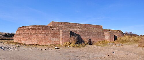
The Fort des Dunes, also known as Fort Leffrinckoucke and sometime Fort de l'Est, is located in the commune of Leffrinckoucke, France, about 6 kilometres (3.7 mi) east of Dunkirk (Dunkerque). Built from 1878 to 1880, it is part of the Séré de Rivières system of fortifications that France built following the defeat of the Franco-Prussian War. Although it played no part in World War I, it had a significant role in both the beginning and end of World War II. It has been preserved and is interpreted by a local preservation association for the public.
Text adapted from “Fort des Dunes” on Wikipedia, CC BY-SA 4.0.
In the rankings
Fort des Dunes ranks #5,109 of 9,902 worldwide in the atlas's castle fame ranking, and #425 of the 954 mapped in France. Founded 1878, it is older than 5% of the atlas's dated landmarks, one of 782 atlas entries founded in the 19th century. 2 more atlas landmarks stand within 25 km. The nearest day-trip guide is Ostend, 38 km away. See how France compares in the castle statistics.
Castles nearby
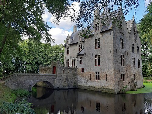
- Kasteel Beauvoorde
 15 km · Belgium
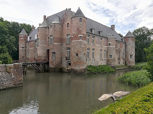
- Esquelbecq Castle19 km · France
- Fort Napoleon40 km · Belgium
- Kasteel Wijnendale43 km · Belgium
More castles in France
- Fort du mont AlbanFrance · 16th century
- Fort Saint-ElmeFrance · 16th century
- Fort du RandouilletFrance · 18th century
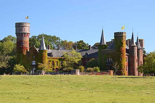
- Château de RandanFrance · 13th century