Ruin
Fort Macomb
 United States · 19th century
- Founded
- 1822
- Heritage status
- National Register of Historic Places listed place
- Location
- Orleans Parish
- Coordinates
- 30.06417°, -89.80417°
- Open data
- Wikidata Q3077935
- Links
- OpenStreetMap · Wikimedia Commons
Description
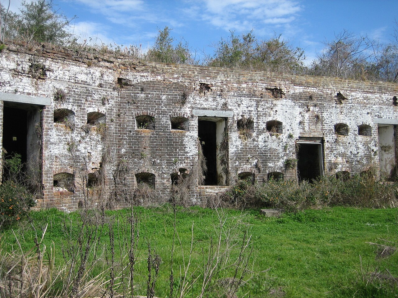
Fort Macomb is a 19th-century United States brick fort in Louisiana, on the western shore of Chef Menteur Pass. It is listed on the National Register of Historic Places. The fort is adjacent to the Venetian Isles community, now legally within the city limits of New Orleans, Louisiana. This community was some miles distant from the city when first built and is still distant from the main developed portion of the city.
Text adapted from “Fort Macomb” on Wikipedia, CC BY-SA 4.0.
In the rankings
Fort Macomb ranks #4,718 of 9,902 worldwide in the atlas's castle fame ranking, and #90 of the 120 mapped in United States. Founded 1822, it is older than 11% of the atlas's dated landmarks, one of 782 atlas entries founded in the 19th century. Its Wikipedia articles were opened 2,702 times in the last 60 days, more than 79% of the atlas. See how United States compares in the castle statistics.
Castles nearby
- Fort Jackson85 km · United States
- Fort Morgan172 km · United States
- Fort Charlotte (Mobile)183 km · United States
- Fort Barrancas243 km · United States

More castles in the United States
- Fort Washington (Maryland)United States · 19th century
- Fort AdamsUnited States · 18th century
- Fort VasquezUnited States · 19th century
- Fort WilkinsUnited States · 19th century