 Spain · 20th century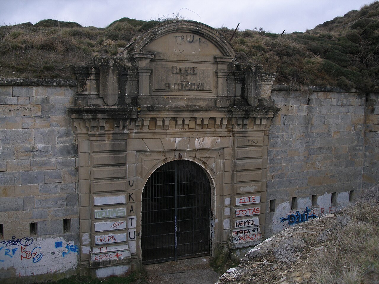
The Fort Alfonso XII or San Cristóbal is a fort located on the top of the mount Ezcaba or San Cristóbal (892,8 m above sea level), 4 km from Pamplona, Spain. It was erected following the 1872-1876 Carlist War to control a strategic point towering over Pamplona. It was later made into a makeshift prison during the 2nd Spanish Republic, bearing witness during the Spanish Civil War to a halfhearted massive prison break by leftist prisoners that ended up with the death of hundreds.
Text adapted from “Fort San Cristóbal (Spain)” on Wikipedia, CC BY-SA 4.0.
Fort San Cristóbal ranks #3,102 of 9,079 worldwide in the atlas's castle fame ranking, and #115 of the 607 mapped in Spain. Founded 1910 — one of 169 atlas entries founded in the 20th century. Its Wikipedia articles were opened 1,727 times in the last 60 days, more than 65% of the atlas. 3 more atlas landmarks stand within 25 km. The nearest day-trip guide is Vitoria-Gasteiz, 82 km away. See how Spain compares in the castle statistics.
View on the interactive castle map →