 Guernsey · 19th century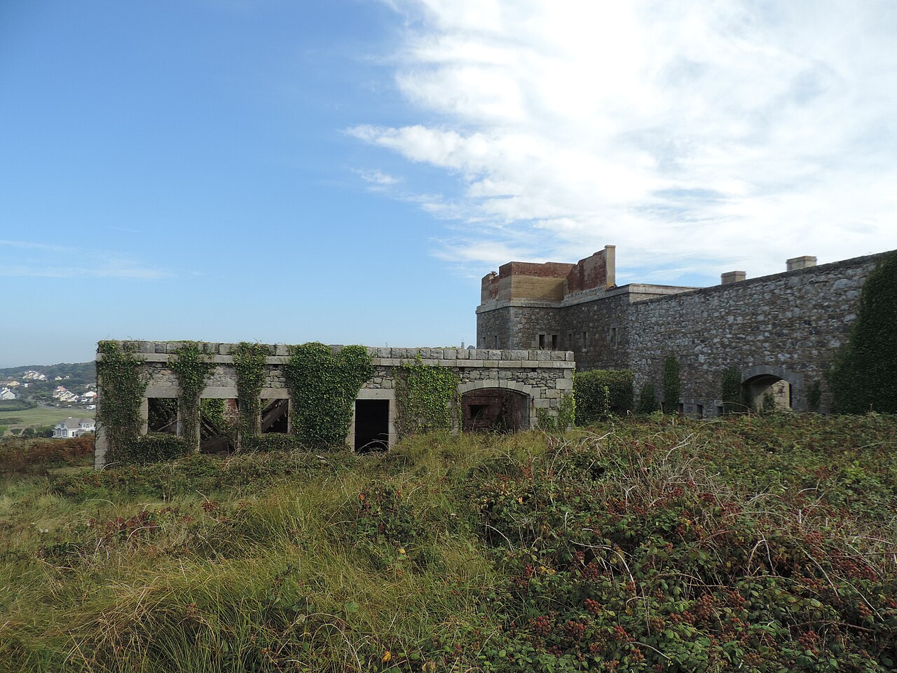
Fort Tourgis is an extensive fortification in Alderney to the north west of St Anne forming part of the Fortifications of Alderney inside the Bailiwick of Guernsey.
Fort Tourgis, completed in 1855, was designed to accommodate 346 men and was originally to be the largest of Alderney's Victorian forts. It was also designed to mount 33 heavy cannon in five batteries together with four 13-inch mortars. Fort Albert, begun a year later in 1856, was to become the island's largest and most heavily armed fort, but even today Tourgis remains a very impressive structure.
Alderney's Victorian forts were designed to defend the island and its harbour, which was planned to accommodate a British fleet to respond to French naval power in the Channel. From 1860, advances in weapons, particularly the rise of rifled ordnance, and ironclad ship design, made the island's 18 forts and batteries, and the new harbour, increasingly obsolete. However several forts, including Tourgis, were later armed with more modern gun designs. In 1886 the island's defenses consisted of 124 guns, mortars and howitzers; by 1893 only Fort Albert and Roselle Battery were armed, with Fort Grosnez having two practice guns manned by the Royal Alderney Militia.
By 1908 only Fort Albert with the two newly installed six-inch guns (1901) and Roselle Battery, with its two 12-pounder QF guns, defended the island. Military History From July 1940, after Alderney and the other Channel Islands had been occupied by the Germans, the defenses were designed both to protect the sea route from Cherbourg to St Malo, and to resist potential British assault to recapture the only part of the British Isles to be occupied by Germany. Fort Tourgis became Stutzpunkt Türkenburg, or Strongpoint Turk's Castle. Fort Tourgis has a citadel containing the barrack block, main magazine and other facilities, together with two small gun batteries, one facing west (three guns) and one east (two guns) in the Redan.
The fort's main armament was located in three major batteries facing seawards. The batteries are separated from each other, and from the Citadel, by ditches and drawbridges.
Following extensive clearance and conservation work, co-ordinated by the Living Islands Project, with volunteers supported by the States Works department, part of the northern defenses of Fort Tourgis is now open to the public.
Text adapted from “Fort Tourgis” on Wikipedia, CC BY-SA 4.0.
Fort Tourgis ranks #7,363 of 9,035 worldwide in the atlas's castle fame ranking, and #3 of the 4 mapped in Guernsey. Founded 1855, it is older than 7% of the atlas's dated landmarks, one of 705 atlas entries founded in the 19th century. 1 more atlas landmarks stand within 25 km. See how Guernsey compares in the castle statistics.
View on the interactive castle map →