Fortress
Fortress of Santo António da Barra
🇧🇷 Brazil
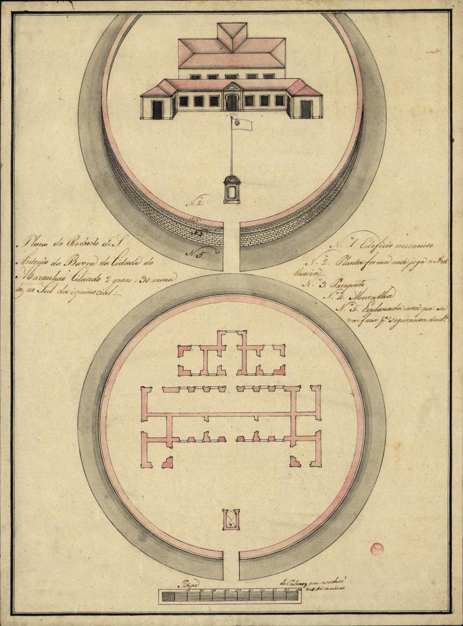
The Fortress of Santo António da Barra, or Forte de Santo Antônio da Barra de São Luís, is located at the point of João Dias, at present between the beaches of Ponta d'Areia and the little beach of tia-maria, south-west of Fort São Marcos, commanding the entrance to the channel that gave access to the port of São Luís, on the coast of São Luís, capital of the state of Maranhão, in Brazil.
Machine-translated from “Forte de Santo Antônio da Barra de São Luís” on the Portuguese Wikipedia, CC BY-SA 4.0.
Fortress of Santo António da Barra ranks #7,751 of 8,134 worldwide in the atlas's castle fame ranking, and #59 of the 80 mapped in Brazil. 1 more atlas landmarks stand within 25 km. See how Brazil compares in the castle statistics.
View on the interactive castle map →Frequently asked questions
Where is Fortress of Santo António da Barra?
Fortress of Santo António da Barra stands in Brazil, at -2.50528°, -44.31833°.
How famous is Fortress of Santo António da Barra?
In this atlas's fame ranking: #7,751 of 8,134 worldwide, and #59 in Brazil. Fame here combines how many Wikipedia language editions cover a landmark with how many people read them.
What is the nearest castle to Fortress of Santo António da Barra?
Fort of São Sebastião de Alcântara, about 15 km away.
More castles in Brazil
- Fort of Saint Francis Brazil
- Forte Marechal Hermes Brazil
- Forte da Vera Cruz de Itapema Brazil
- Fortress of Our Lady of Pleasures of Pau Amarelo Brazil · 18th century
More fortresses
- Perpétuo Defensive Fort Brazil · 18th century
- Zhenbeitai China
- Zhongjiabao Fortress China
- Yi'an Fortress China