Fortress
Hatta Fort
 United Arab Emirates · 19th century
- Founded
- 1896
- Location
- Hatta
- Coordinates
- 24.81961°, 56.13517°
- Open data
- Wikidata Q116960496
- Links
- Wikimedia Commons
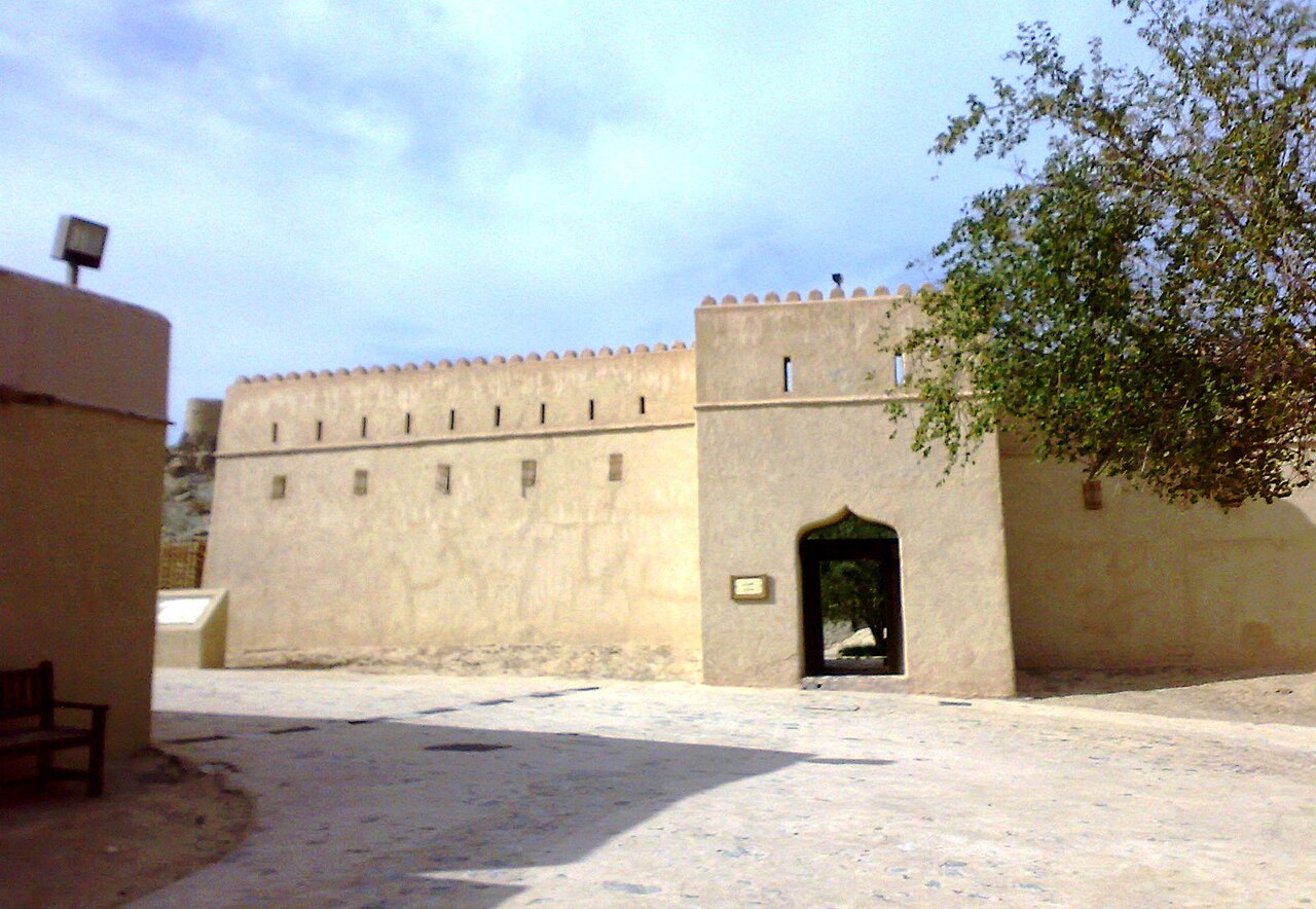
Description
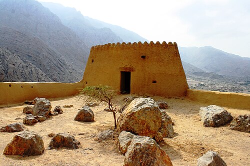
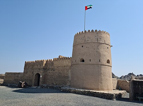
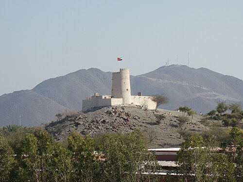
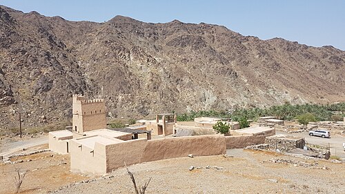
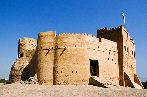
Hatta Fort is a historic castle and tourist site located in the Emirati village of Hatta, 130 kilometres south-west of the city of Dubai. It was built in 1896 AD by Sheikh Maktoum bin Hasher Al Maktoum as a defensive and residential building at one and the same time; mud brick and mountain rock were used for its construction and it was roofed with palm trunks and fronds.
It comprises an inner courtyard and a tower 11 metres high. The two circular watchtowers overlooking the mountain village were erected in the 1880s; they stand at a height of 5.2 metres above ground level and were restored in 1995. It includes a small door and a semicircular staircase leading to the roof. The guards used to use ropes to climb the two towers and enter them.
The fort also contains a small museum of the swords, daggers and firearms formerly used in fighting enemies, and pictures showing the earlier appearance of the castle.
Near the fort there is a tourist hotel called the Hatta Fort Hotel and a palm plantation a short distance from the fort called Al Sharia Garden. Also next to the village lies Hatta Hill Park, which was built in 2004. The park is known for hosting picnics and open-air barbecues and includes a tower forming a distinctive strategic vantage point.
Machine-translated from “حصن حتا” on the Arabic Wikipedia, CC BY-SA 4.0.
In the rankings
Hatta Fort ranks #9,779 of 9,902 worldwide in the atlas's castle fame ranking, and #19 of the 20 mapped in United Arab Emirates. Founded 1896, one of 782 atlas entries founded in the 19th century. 1 more atlas landmarks stand within 25 km. The nearest day-trip guide is Al Ain, 79 km away. See how United Arab Emirates compares in the castle statistics.
Castles nearby
- Awhala Fort20 km · United Arab Emirates
- Ghayl Fort28 km · United Arab Emirates
- Al Hayl Fort31 km · United Arab Emirates
- Fujairah Fort41 km · United Arab Emirates
More castles in the United Arab Emirates
- Diba al Hisn FortressUnited Arab Emirates
- Qasr al-HosnUnited Arab Emirates · 18th century
- Al-Jahili FortUnited Arab Emirates · 19th century
- Dhayah FortUnited Arab Emirates · 18th century