Ruin
Helfenburk (Úštěk)
 Czech Republic · 14th century
- Founded
- c. 1400
- Style
- Gothic architecture
- Heritage status
- cultural monument of the Czech Republic
- Location
- Rašovice
- Coordinates
- 50.57944°, 14.38389°
- Open data
- Wikidata Q1012290
- Links
- OpenStreetMap · Wikimedia Commons
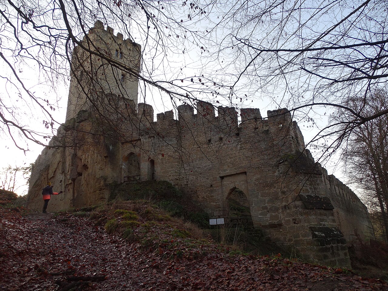
Description
Helfenburk u Úštěka (also Hrádek) is the ruin of a castle from the 14th century about 3 km from the small town of Úštěk in the Litoměřice District. It has been protected as a cultural monument since 1964. It was built on the top of a sandstone spur that juts out into the wooded valley of Hrádecký důl at an elevation of 310 metres, rising seventy metres above the valley floor.
Machine-translated from “Helfenburk u Úštěka” on the Czech Wikipedia, CC BY-SA 4.0.
In the rankings
Helfenburk (Úštěk) ranks #5,902 of 9,902 worldwide in the atlas's castle fame ranking, and #169 of the 257 mapped in Czech Republic. Founded c. 1400, it is older than 51% of the atlas's dated landmarks, one of 797 atlas entries founded in the 14th century. Its Wikipedia articles were opened 1,142 times in the last 60 days, more than 59% of the atlas. 15 more atlas landmarks stand within 25 km. The nearest day-trip guide is Děčín, 25 km away. It is one of the 201 landmarks on the atlas's regional map of Bohemia. See how Czech Republic compares in the castle statistics.
Castles nearby
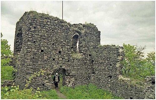
- Ronov Castle5 km · Czech Republic
- Nový Berštejn Castle12 km · Czech Republic
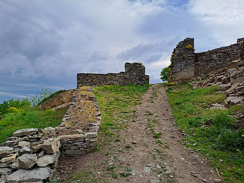
- Kalich13 km · Czech Republic
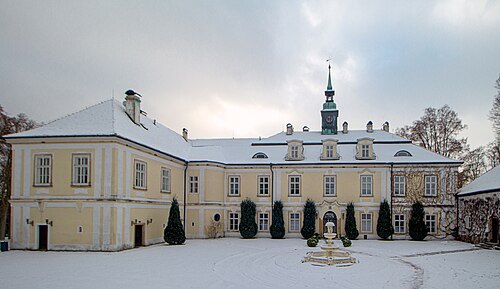
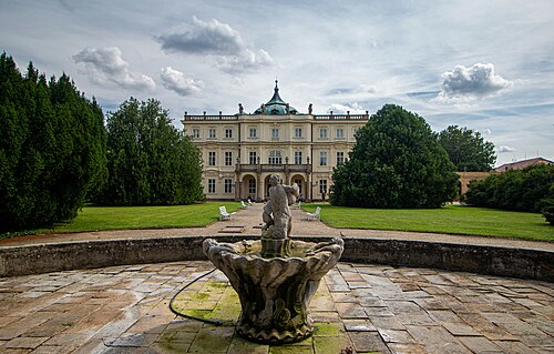
- Ploskovice Castle13 km · Czech Republic
More castles in the Czech Republic
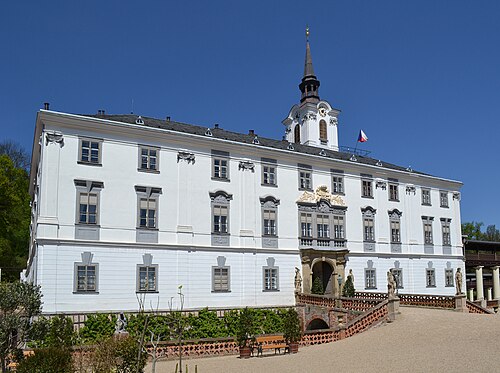
- Lysice CastleCzech Republic
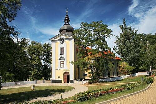
- Ctěnice CastleCzech Republic
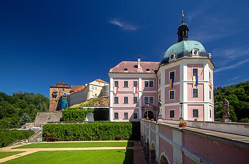
- Bečov nad Teplou ChateauCzech Republic
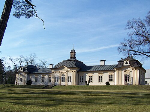
- Bon ReposCzech Republic · 18th century