 Netherlands · 13th century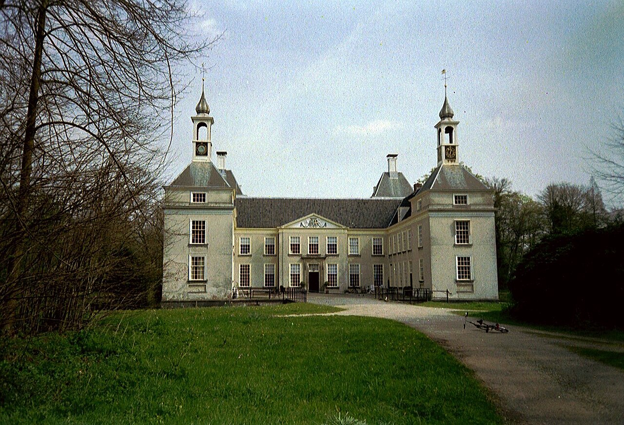
The Huys te Warmont (old Dutch spelling; sometimes also called Huis te Warmond, after the foundation that managed the castle in the past) is a castle-like building on the edge of Warmond in South Holland. Although it dates from the Middle Ages, in its present form it is a late-18th-century country house ("buiten"). It was formerly inhabited by the lords of the high lordship of Warmond. The house is privately occupied and is not open to the public.
Machine-translated from “Huys te Warmont” on the Dutch Wikipedia, CC BY-SA 4.0.
Huys te Warmont ranks #7,597 of 9,079 worldwide in the atlas's castle fame ranking, and #125 of the 199 mapped in Netherlands. Founded 1300, it is older than 61% of the atlas's dated landmarks — one of 1080 atlas entries founded in the 13th century. 17 more atlas landmarks stand within 25 km. The nearest day-trip guide is The Hague, 19 km away. See how Netherlands compares in the castle statistics.
View on the interactive castle map →