 Uzbekistan
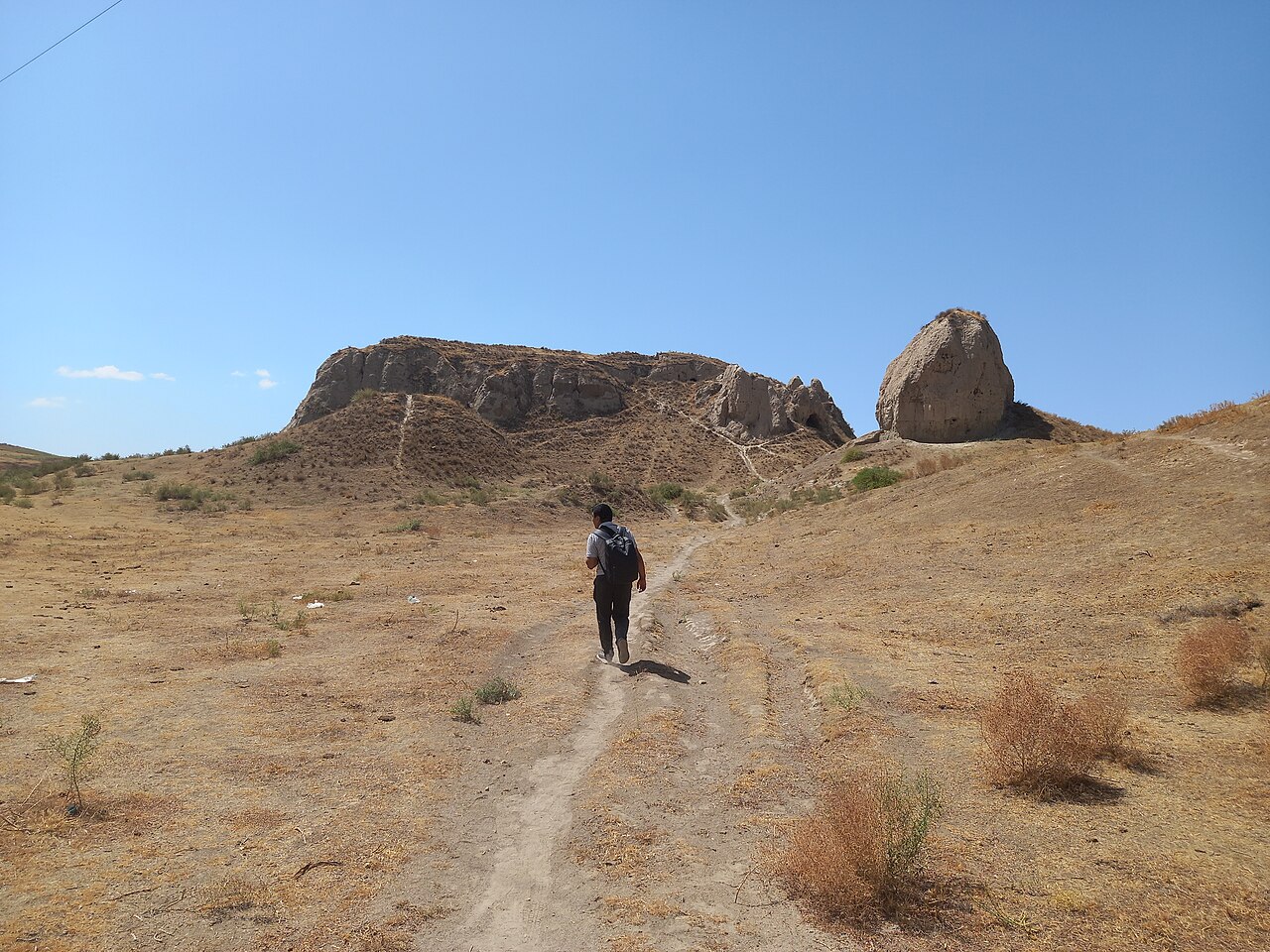
Kafir-kala ("Fortress of the infidels") is an ancient fortress beside the Dargom river, 12 kilometers south of the city center of Samarkand in Uzbekistan, protecting the southern border of the Samarkand oasis. It consists of a central citadel built of mudbrick and measuring 75 × 75 meters at its base. It incorporates six towers and is surrounded by a moat, which is still visible today. Living quarters were located outside the citadel.
Text adapted from “Kafir-kala (Uzbekistan)” on Wikipedia, CC BY-SA 4.0.
Kafir-kala ranks #4,404 of 9,035 worldwide in the atlas's castle fame ranking, and #10 of the 12 mapped in Uzbekistan. See how Uzbekistan compares in the castle statistics.
View on the interactive castle map →