 Poland
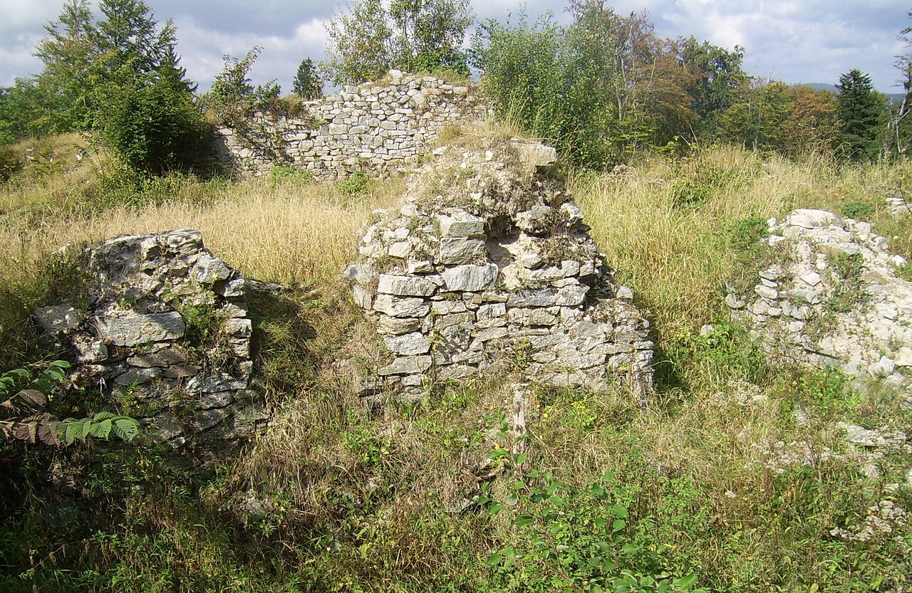
Karpień Castle (Polish: Zamek Karpień; German: Burg Karpenstein) is located in Kłodzko County in the Golden Mountains. The castle was the seat of a small feudal state.
Text adapted from “Karpień Castle” on Wikipedia, CC BY-SA 4.0.
Karpień Castle ranks #5,741 of 9,035 worldwide in the atlas's castle fame ranking, and #219 of the 397 mapped in Poland. 6 more atlas landmarks stand within 25 km. The nearest day-trip guide is Nysa, 33 km away. It is one of the 80 landmarks on the atlas's regional map of Lower Silesia. See how Poland compares in the castle statistics.
View on the interactive castle map →