Fortress
Kastellet (Stockholm)
 Sweden · 17th century
- Founded
- 1667
- Architect
- Fredrik Blom, Erik Dahlbergh
- Location
- Stockholm Municipality
- Coordinates
- 59.32264°, 18.09028°
- Open data
- Wikidata Q4176816
- Links
- OpenStreetMap · Wikimedia Commons
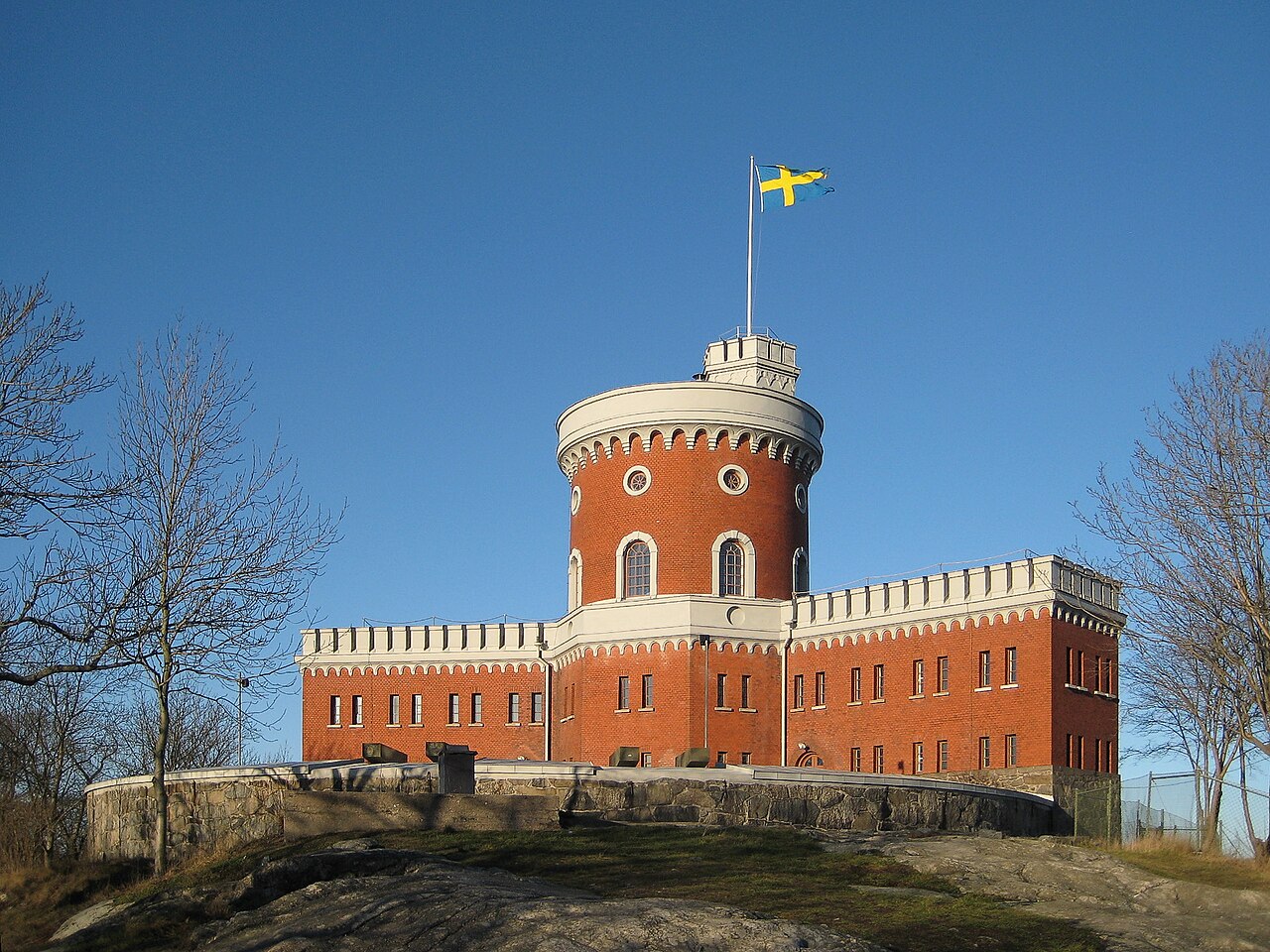
Description
Kastellet is a small citadel located on the islet Kastellholmen in central Stockholm, Sweden.
The first fortification on the location was built in 1667 designed by Governor-general and Field marshal Erik Dahlbergh (1625–1703). In 1676, Dahlbergh was made director-general of fortifications for the Realm of Sweden. After the fleet moved to Karlskrona in 1680, the castle fell into disrepair
Kastellet exploded in June 1845 and subsequently was built 1846–1848 to the design of military officer and architect Fredrik Blom (1781–1853). It consists of a round tower with red brick walls and a 20-meter-high (66 ft) stair tower.
The castle regained its defensive function during World War II when it became part of Stockholm's permanent air defense. The tower and battery plane were then equipped with fast-firing anti-aircraft guns. The Swedish Coastal Artillery training school departed Kastellet in 1990. On the top of the Kastellet, the Military Ensign of Sweden is hoisted and lowered every day, indicating the nation is at peace. On May 17, 1996, the Norwegian Constitution Day, some Norwegian expats temporarily raised the Norwegian flag in the tower.
Text adapted from “Kastellet, Stockholm” on Wikipedia, CC BY-SA 4.0.
In the rankings
Kastellet (Stockholm) ranks #2,996 of 9,902 worldwide in the atlas's castle fame ranking, and #63 of the 212 mapped in Sweden. Founded 1667, it is older than 25% of the atlas's dated landmarks, one of 755 atlas entries founded in the 17th century. 31 more atlas landmarks stand within 25 km. The nearest day-trip guide is Stockholm, 1 km away. See how Sweden compares in the castle statistics.
Castles nearby
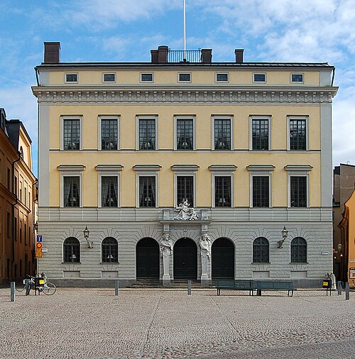
- Tessin Palace1 km · Sweden
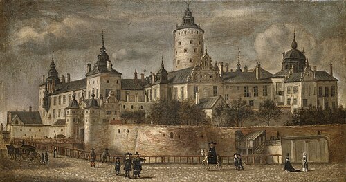
- Tre Kronor Castle1 km · Sweden
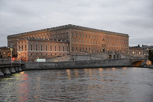
- Stockholm Palace1 km · Sweden
- Fredrikshovs slott1 km · Sweden
More castles in Sweden
- Bäckaskog CastleSweden · 13th century
- Boden FortressSweden · 20th century
- Varberg FortressSweden · 13th century
- Marsvinsholm CastleSweden · 17th century