Fortress
Kastellet
 Denmark · 17th century
- Founded
- 1662
- Style
- Baroque
- Heritage status
- protected ancient monument in Denmark · monument on Kulturstyrelsen register
- Location
- Copenhagen Municipality
- Coordinates
- 55.69161°, 12.59357°
- Open data
- Wikidata Q221812
- Links
- OpenStreetMap · Wikimedia Commons
Description
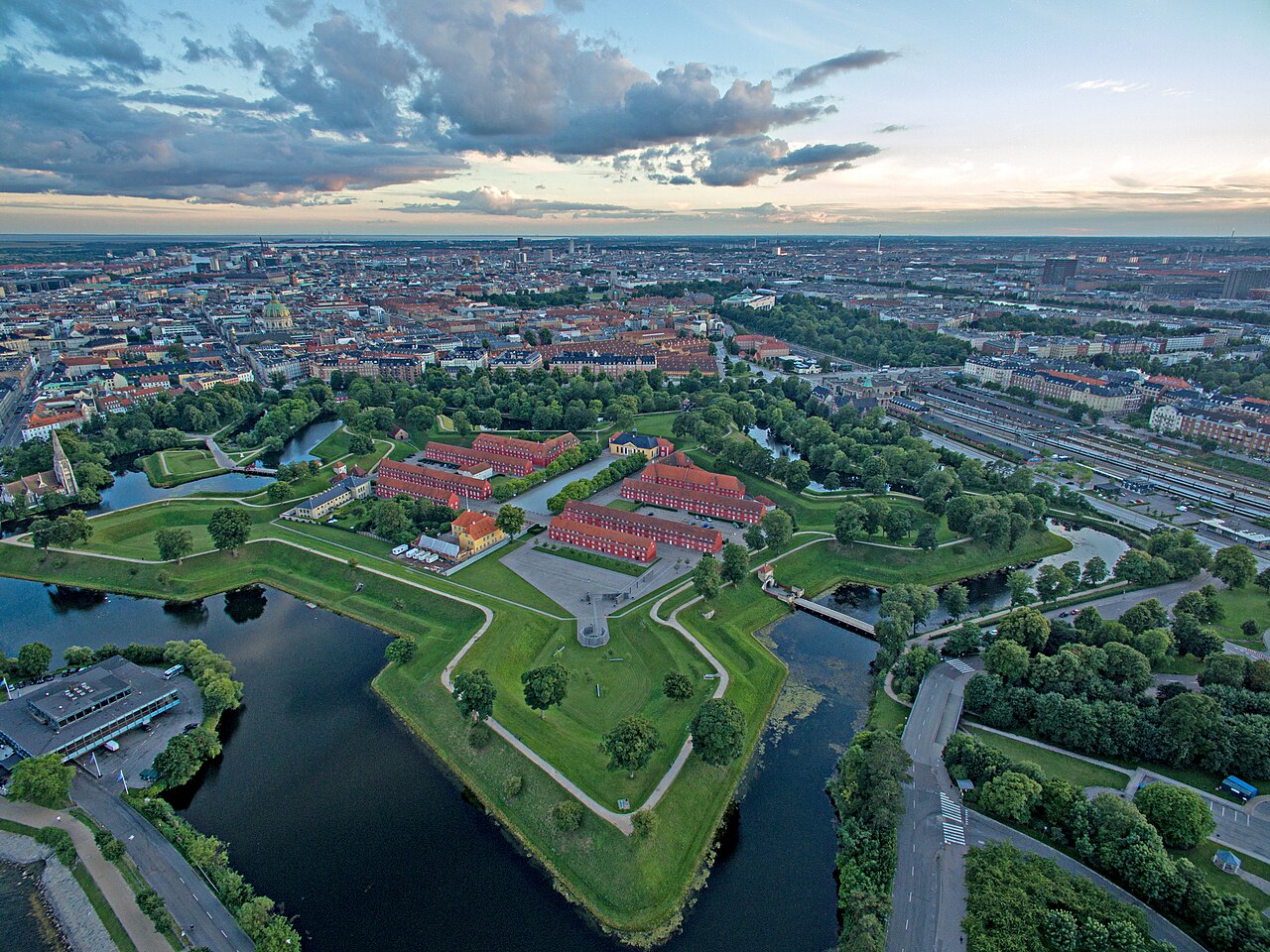
Kastellet (Danish pronunciation: [kʰæˈsteˀlð̩]; transl. "The Citadel") is a citadel located in Copenhagen, Denmark. It is one of the best preserved fortresses in Northern Europe. It is constructed in the form of a pentagon with bastions at its corners. Kastellet was continuous with the ring of bastioned ramparts which used to encircle Copenhagen but of which only the ramparts of Christianshavn remain today.
A number of buildings are located within the grounds of Kastellet, including the Citadel Church as well as a windmill. The area houses various military activities but it also serves as a public park and a historic site.
Text adapted from “Kastellet, Copenhagen” on Wikipedia, CC BY-SA 4.0.
In the rankings
Kastellet ranks #513 of 9,902 worldwide in the atlas's castle fame ranking, and #6 of the 60 mapped in Denmark. Founded 1662, it is older than 25% of the atlas's dated landmarks, one of 755 atlas entries founded in the 17th century. Its Wikipedia articles were opened 11,635 times in the last 60 days, more than 95% of the atlas. 17 more atlas landmarks stand within 25 km. The nearest day-trip guide is Copenhagen, 2 km away. See how Denmark compares in the castle statistics.
Castles nearby
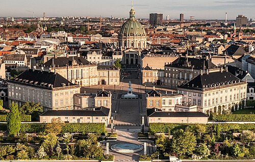
- Amalienborg1 km · Denmark
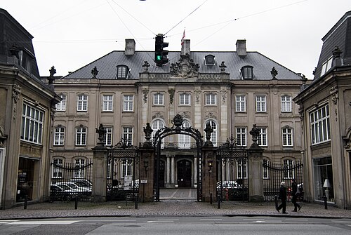
- Odd Fellows Mansion1 km · Denmark
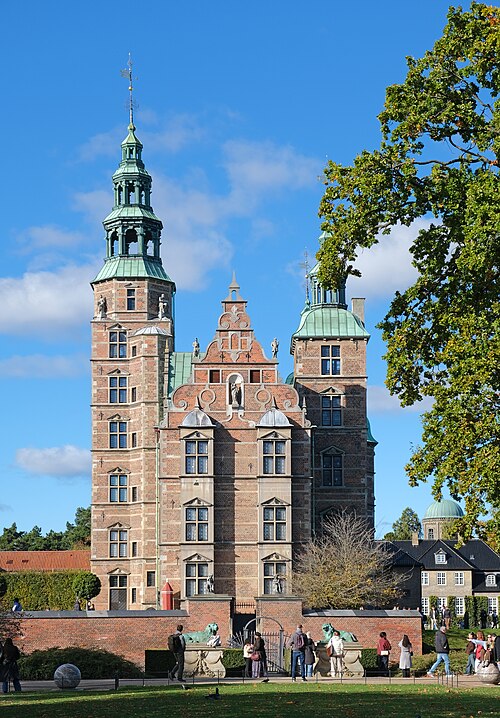
- Rosenborg Castle1 km · Denmark
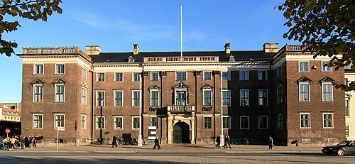
- Charlottenborg Palace1 km · Denmark
More castles in Denmark
- Copenhagen CastleDenmark · 14th century
- AggersborgDenmark · 10th century
- Bernstorff PalaceDenmark · 18th century
- FyrkatDenmark · 10th century