 Poland · 14th century
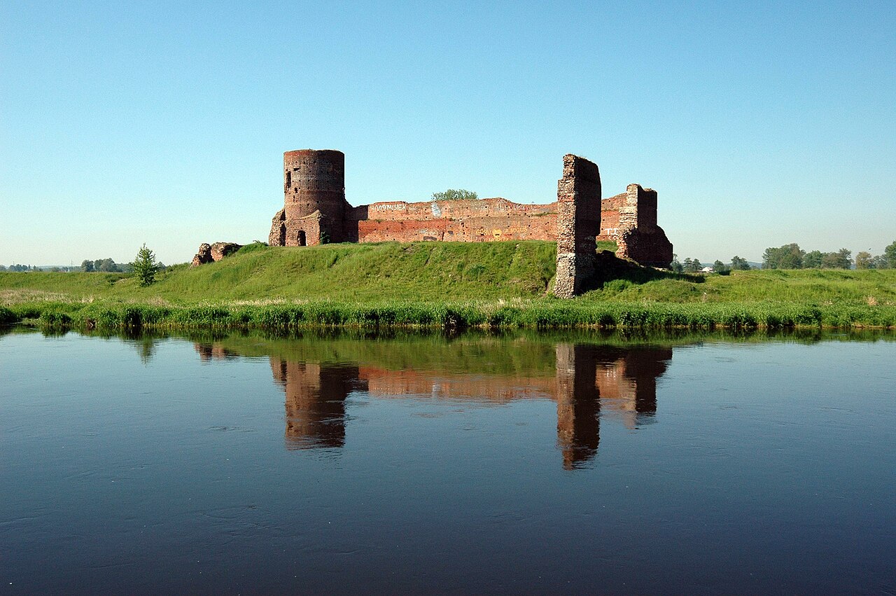
Koło Castle - a Gothic castle, which according to Jan Długosz was raised by Casimir III the Great before the year of 1362 (when Koło received its town rights). The castle secured the route from Greater Poland to Łęczyca, in the lowlands of the River Warta. The castle is located on an artificial hill on a meander of the River Warta. During the raising of the castle, the river had a number of tributaries in the area, which were important for the castle's strategic location.
Text adapted from “Koło Castle” on Wikipedia, CC BY-SA 4.0.
Koło Castle ranks #3,374 of 9,035 worldwide in the atlas's castle fame ranking, and #121 of the 397 mapped in Poland. Founded 1362, it is older than 54% of the atlas's dated landmarks, one of 757 atlas entries founded in the 14th century. Its Wikipedia articles were opened 1,861 times in the last 60 days, more than 67% of the atlas. 2 more atlas landmarks stand within 25 km. The nearest day-trip guide is Płock, 84 km away. See how Poland compares in the castle statistics.
View on the interactive castle map →