 Slovakia · 14th century
Kuchyňa Castle ranks #8,935 of 9,040 worldwide in the atlas's castle fame ranking, and #129 of the 135 mapped in Slovakia. Founded c. 1375, it is older than 53% of the atlas's dated landmarks, one of 758 atlas entries founded in the 14th century. 9 more atlas landmarks stand within 25 km. The nearest day-trip guide is Trnava, 29 km away. See how Slovakia compares in the castle statistics.
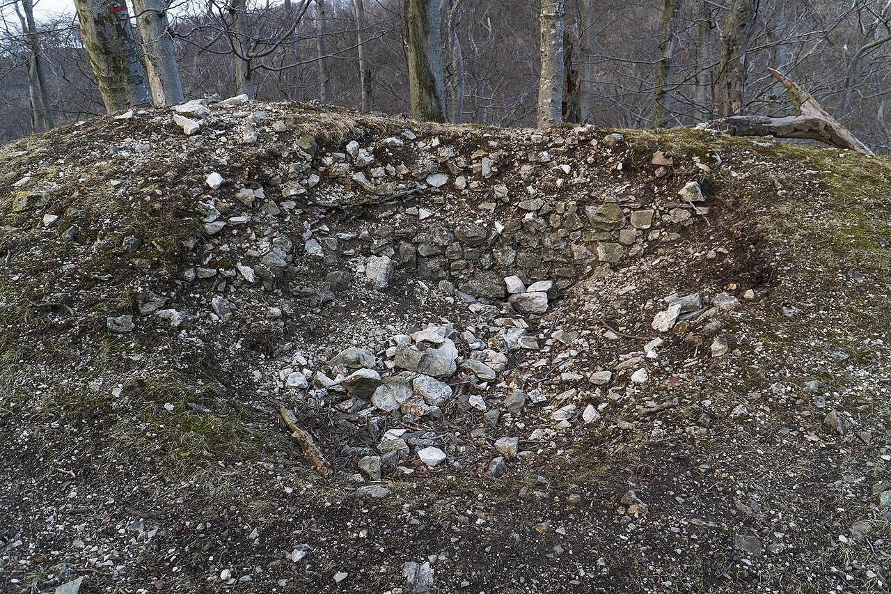
Kuchyňa Castle was a castle in the Little Carpathians near the municipality Kuchyňa in the Bratislava region, Slovakia. Only modest remains of certain parts of the castle are visible today. The ruins are situated at approximately 420 m above sea level.
The castle ruins were discovered in the 1980s and are generally less well-known than those of other regional castles, such as Biely Kameň and Pajštún Castle. Nonetheless, the site remains a popular hiking destination.
Text adapted from “Kuchyňa Castle” on Wikipedia, CC BY-SA 4.0.
View on the interactive castle map →