Ruin
Löwenburg
 Germany · 13th century
- Founded
- 1247
- Location
- Bad Honnef
- Coordinates
- 50.6642°, 7.25056°
- Open data
- Wikidata Q1879914
- Links
- Wikimedia Commons
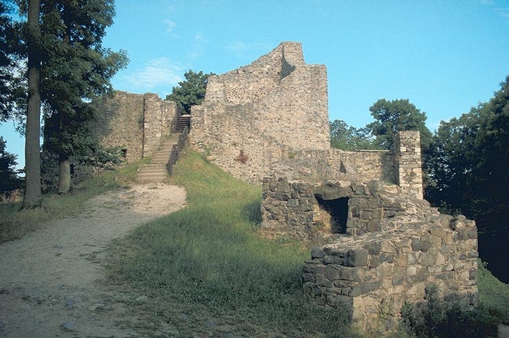
Description
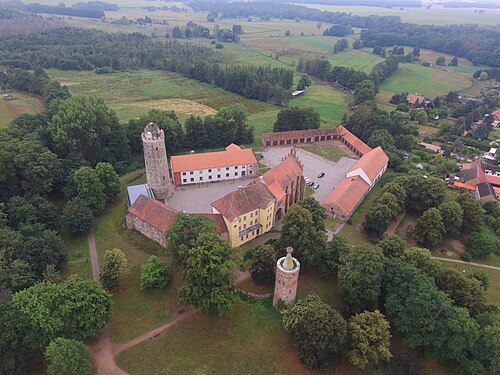
The Löwenburg is the ruin of a medieval hill castle on the 455 m high mountain of the same name in the Siebengebirge. It belongs to the municipal territory of Bad Honnef in the North Rhine-Westphalian Rhein-Sieg-Kreis. Because of the exposed position of the ruin, with a view over the Rhine valley near Bonn and the front Westerwald, it is one of the most popular hiking destinations in the Siebengebirge. The castle ruin is protected as an archaeological monument.
Machine-translated from “Löwenburg (Bad Honnef)” on the German Wikipedia, CC BY-SA 4.0.
In the rankings
Löwenburg ranks #6,289 of 9,902 worldwide in the atlas's castle fame ranking, and #640 of the 927 mapped in Germany. Founded 1247, it is older than 71% of the atlas's dated landmarks, one of 1134 atlas entries founded in the 13th century. Its Wikipedia articles were opened 937 times in the last 60 days, more than 53% of the atlas. 18 more atlas landmarks stand within 25 km. The nearest day-trip guide is Cologne, 37 km away. See how Germany compares in the castle statistics.
Castles nearby
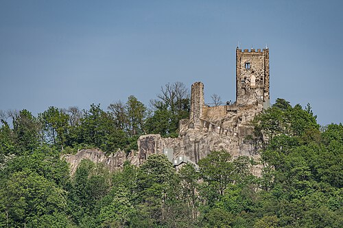
- Drachenfels castle3 km · Germany
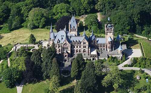
- Schloss Drachenburg3 km · Germany
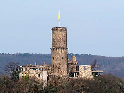
- Godesburg7 km · Germany
- Schloss Marienfels9 km · Germany
More castles in Germany
- Residenzschloss Oettingen in BayernGermany · 17th century
- Marienburg (Hildesheim)Germany · 14th century
- Schloss OberwiederstedtGermany
- Ziesar CastleGermany · 13th century