 Serbia · 13th century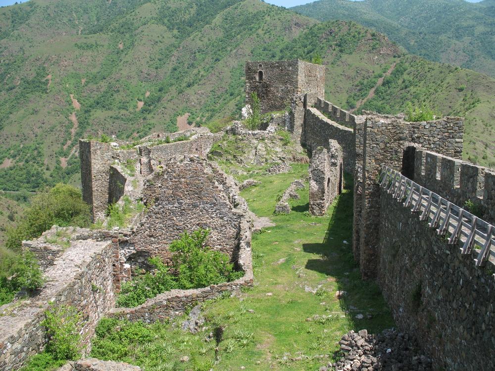
Maglič (Serbian Cyrillic: Маглич, pronounced [mâɡlitʃ]) is a 13th-century castle about 20 kilometres (12 mi) south of Kraljevo, Serbia. The castle is located atop a hill around which the Ibar river makes a curve, about 100 metres (330 ft) above the river. The fortress protected the only road that connected the Great Morava Valley and Kosovo polje. Its name means 'the foggy one' from Serbian магла (magla) 'fog'.
Maglič was included in the list of Cultural Monuments of Exceptional Importance in 1979.
Text adapted from “Maglič” on Wikipedia, CC BY-SA 4.0.
Maglič ranks #1,050 of 9,079 worldwide in the atlas's castle fame ranking, and #5 of the 34 mapped in Serbia. Founded c. 1300, it is older than 61% of the atlas's dated landmarks — one of 1080 atlas entries founded in the 13th century. Its Wikipedia articles were opened 4,111 times in the last 60 days, more than 84% of the atlas. The nearest day-trip guide is Kragujevac, 54 km away. See how Serbia compares in the castle statistics.
View on the interactive castle map →