Ruin
Ogrodzieniec Castle
 Poland · 14th century
- Founded
- c. 1400
- Style
- Renaissance architecture
- Heritage status
- immovable monument in Poland
- Location
- Podzamcze
- Coordinates
- 50.45326°, 19.55214°
- Open data
- Wikidata Q21155924
- Links
- Wikimedia Commons · Plan
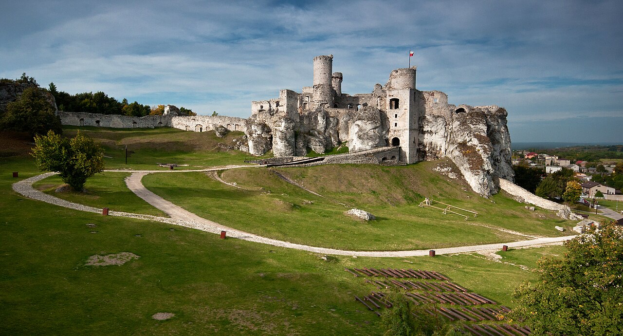
Description
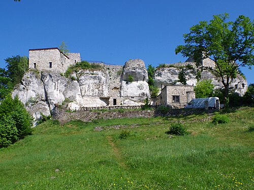
Ogrodzieniec Castle is a ruined medieval castle in Podzamcze, near Ogrodzieniec, the south-central region of Poland called Polish Jura. Originating in the 14th century the castle was rebuilt several times in its long history. It is situated on the top of 515.5-metre-high Castle Mountain (Polish: Góra Zamkowa), the highest hill of the Kraków-Częstochowa Upland. The ruins are open to visitors and are a part of Trail of the Eagles' Nests, a hiking trail that connects a number of well known castles in the region.
Text adapted from “Ogrodzieniec Castle” on Wikipedia, CC BY-SA 4.0.
In the rankings
Ogrodzieniec Castle ranks #818 of 9,902 worldwide in the atlas's castle fame ranking, and #21 of the 455 mapped in Poland. Founded c. 1400, it is older than 51% of the atlas's dated landmarks, one of 797 atlas entries founded in the 14th century. Its Wikipedia articles were opened 6,988 times in the last 60 days, more than 91% of the atlas. 10 more atlas landmarks stand within 25 km. The nearest day-trip guide is Katowice, 45 km away. See how Poland compares in the castle statistics.
Castles nearby
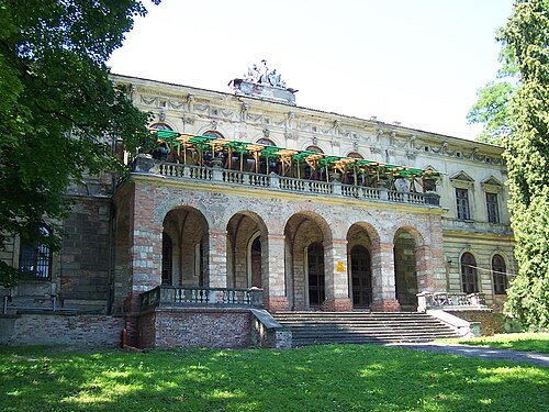
- Pilica Castle7 km · Poland
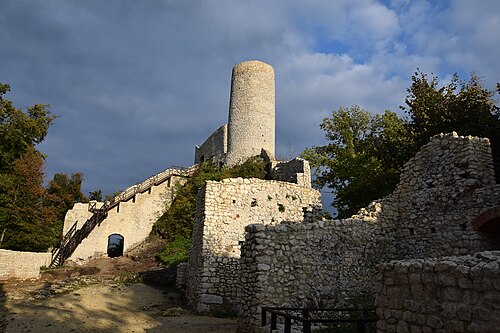
- Smoleń Castle9 km · Poland
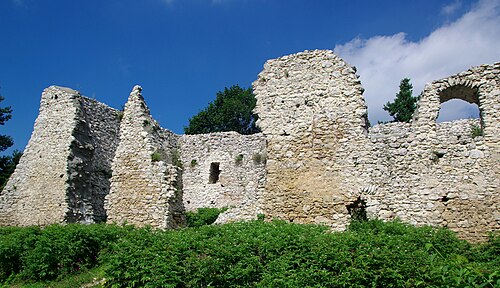
- Bydlin Castle10 km · Poland
- Bąkowiec Castle11 km · Poland
More castles in Poland
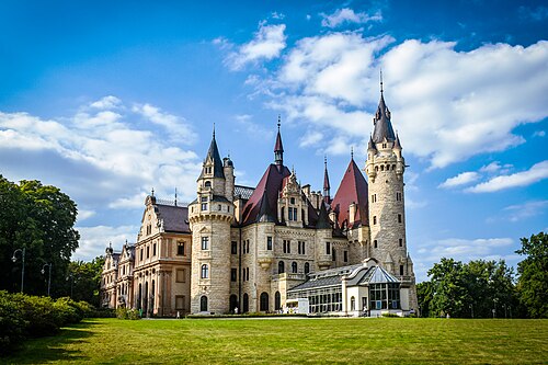
- Moszna CastlePoland · 18th century
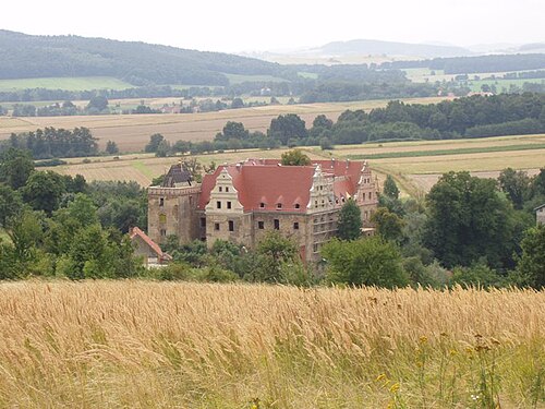
- Gola Dzierżoniowska CastlePoland · 16th century
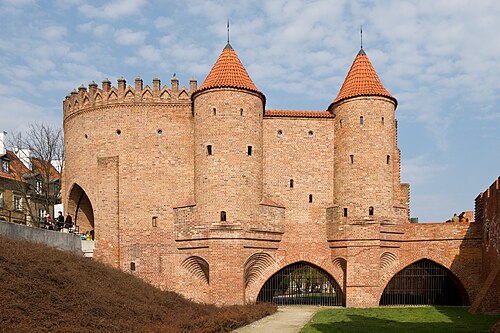
- Warsaw BarbicanPoland · 16th century
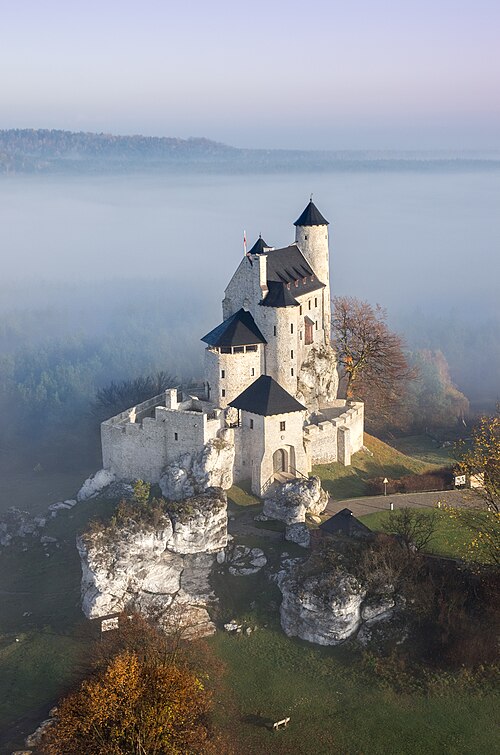
- Bobolice CastlePoland · 14th century